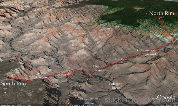
Here’s a look at the first leg of the trip, the Rim to Rim from south to north. It might not look that far but remember, it’s not called the Grand Canyon because it’s small. Click to enlarge.
Here’s a good one if you’re a fan of the long day– start at the South Rim of the Grand Canyon, run nine-plus miles down to the Colorado River and ascend some 14 miles up the other side to the North Rim, and then come back.
What’s it all about? Well, it depends on your perspective. A seasoned mountain runner might say it’s no big deal, that it’s really just two big hills. True, I suppose. At its most basic level that may be an accurate description, but that’s really a bit oversimplified. Put in a different, slightly more sensational tone, it’s running a double traverse of the Grand Canyon, which to the uninitiated might sound downright crazy.
Well to Christy and me, the Rim to Rim to Rim, or R2R2R as it’s written, falls somewhere in between those two descriptions. It’s not quite crazy because, depending on how you go, it’s between 40 and 50 miles in length and nowadays that qualifies as a typical “long day” for some. But it’s also much more than just “two big hills” because there’s nothing hilly about gaining 11-12 thousand vertical feet in a day, and when combined with the mileage and hazard potential of the desert environment, it needs to be taken a bit more seriously.
Which is a good segue to our day.
A few months back, while putting together a fall climbing/road trip to Joshua Tree, CA and Red Rocks NV, Christy and I thought it might be fun to break up the drive by stopping at the Grand Canyon and running the R2R2R on the way. Just a casual scoot across and back. Easy, right?
Not exactly.
Although we’re used to taking on sizable challenges here and there, we showed up particularly flat-footed for this one. Our somewhat cavalier attitude towards running it– that we could just do it off-the-couch, after spending our fall exclusively running flat miles– resulted in a little bit of suffering out there. To be completely honest, it was really tough.
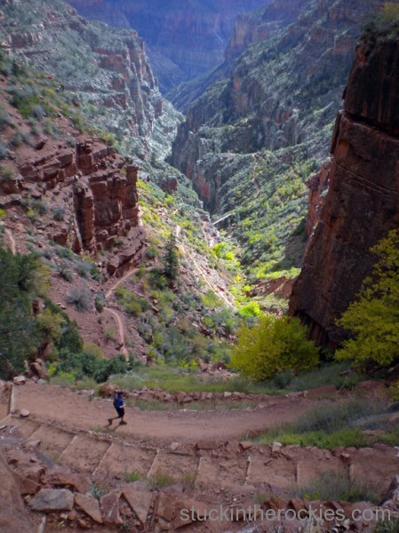
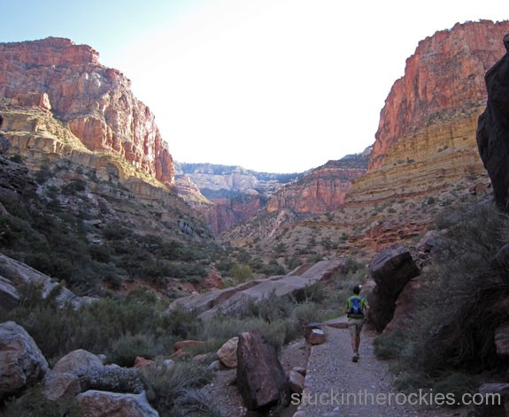
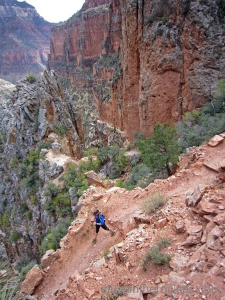
Halfway home, on the way back down from the North Kaibab trailhead. If you look closely you can see the trail meander down the canyon.
Excuses aside, and we came up with quite a few by the time it was all over, the R2R2R is a really big day– it took us 14 hours to complete the 47 mile course. And even though there were never plans to go fast, our assumption that we could finish feeling good and in a reasonable time, having done no real specific training, was a little short-sighted. As nightfall approached on the return trip up Bright Angel, and we were out of food and bonking with more than a few miles to go, well, without going into the details of the conversations, I’ll just say our enthusiasm for the goal had worn thin. You can read between the lines there if you like.
As a testimony to the day though, even after our flailing finish, it only took a few hours before talk of returning next year for redemption began. It’s interesting how the mind works.
For the curious readers out there, check out Andrew Skurka’s website for helpful info on some of the logistical considerations. And if the R2R2R sounds like more of an undertaking than you like, consider the one-way Rim to Rim as an alternative. Either way, the one-way or round-trip is well worth the effort. Apart from the obvious selling point of seeing the Grand Canyon in this fashion, it might be the most official, unofficial ultra-distance event out there. I can’t think of another trail/course that is so revered and participated, yet has no associated event or organizer. Much like a mountaineer’s to-do list of classic peaks, if you ask anyone who has been running trails for a while about the R2R or R2R2R, if they haven’t already run it, they’ll likely be hoping to someday.
Cue the photos.
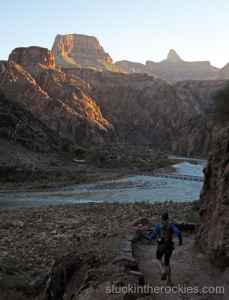
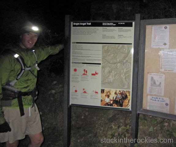
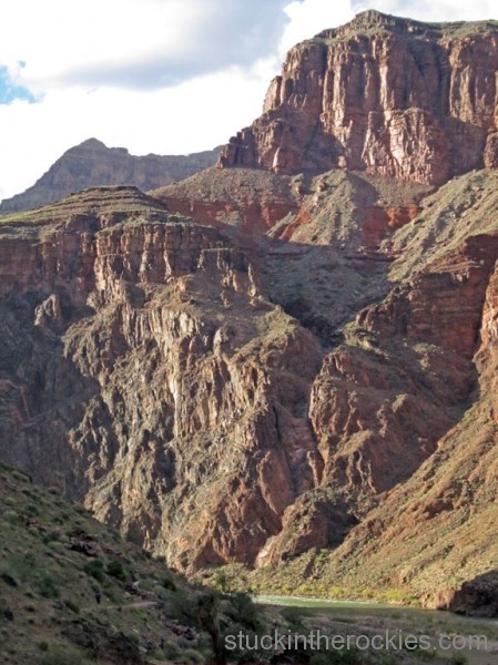
The first hour and a half were in the dark and it remained chilly for a while after dawn. Once down at the Colorado River we cruised along the water to the Silver Bridge, in the foreground. The Kaibab Bridge can be seen behind it.
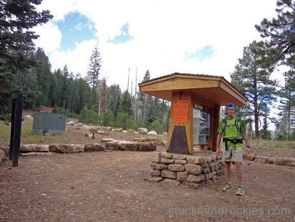
“Sorry folks, the parks closed, the moose out front should have told you.” We weren’t expecting the water to be off at the North Kaibab trailhead. Bummer.
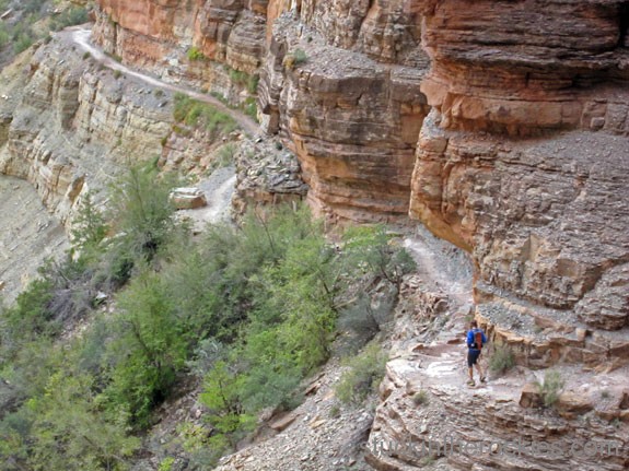
It was five or so miles to the next water fill up, which on a cool, cloudy October 30th wasn’t too big a deal.
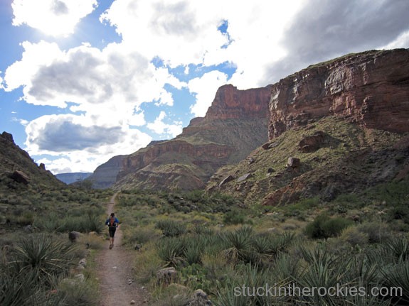
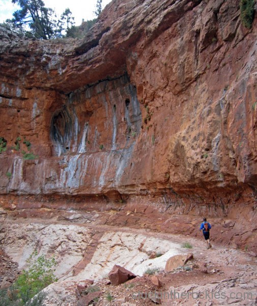
After filling up and off the steeps of the North Rim, it was a cruise to Phantom Ranch. On a sunny day closer to summer we could see the desert heat becoming a real issue.

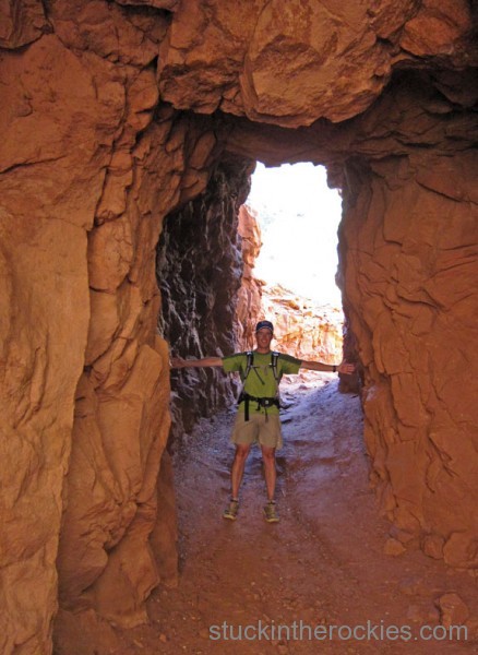
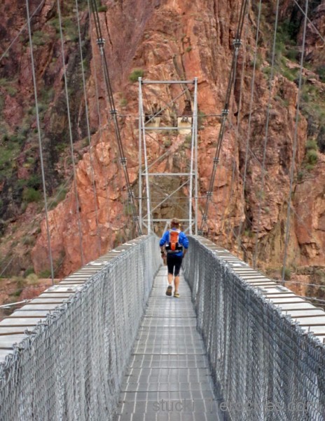
The cool narrows section of the Lower North Kaibab trail. There a four bridges in this meticulously carved out section above Phantom Ranch.
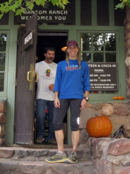
The Phantom Ranch Canteen was a quick stop for a couple of lemonades before taking on the second “hill” of the day. Inside the Canteen it was full-on Happy Hour, with all the ranch guests who muled down there for the night “tying one on” and making us wish we were done and doing the same.

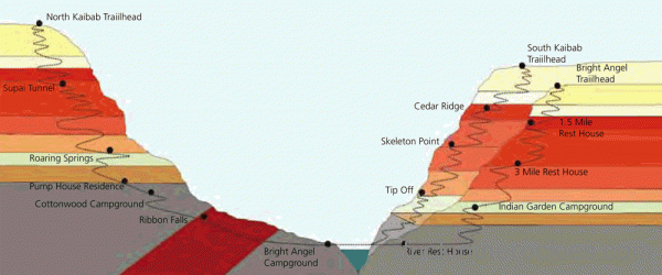
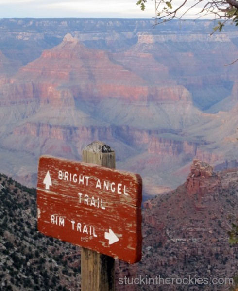
There’s only one trail to the North Rim, the North Kaibab Trail, but there are two from the south, the Bright Angel and the South Kaibab, the latter of which is a few miles shorter and can give you the option of a 41 mile R2R2R opposed to 47 mile route we took via Bright Angel.
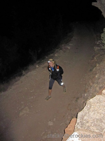
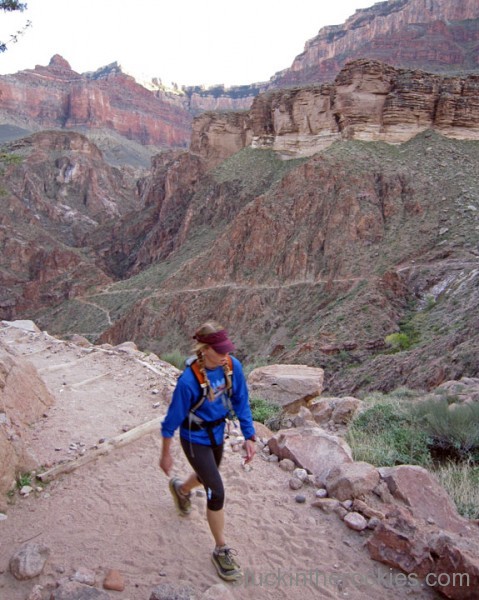
Bundled up against the cold like in the morning, we were reduced a full power hike by the steep trail and the late miles. The darkness only made it drag on.
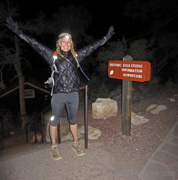
Happy as usual, particularly now that it was done, only hours would separate our swearing the day off and our talk of returning to do it again next year. “Now when’s dinner, I’m starving!”
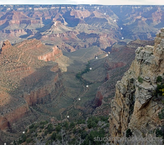
A photo from the South Rim the following morning, looking down Bright Angel and across to the North Rim. Just a walk in the park, right?
Next year, sub 12! Who’s in?




21 Comments
Leave your reply.