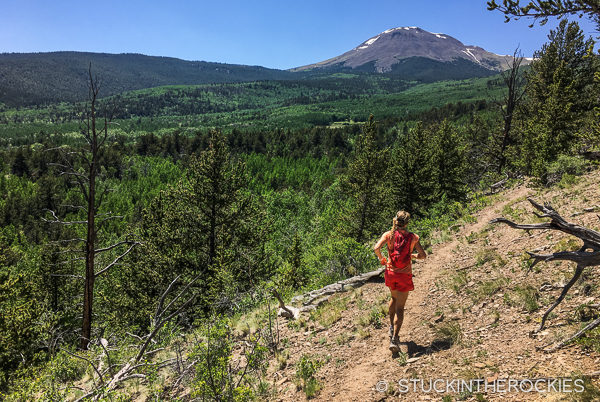
At the northeast edge of the loop, heading back towards the Buffalo Peaks in the distance.
We ran a cool linkup of trails in the Buffalo Peaks Wilderness outside of Buena Vista last weekend. The 25 mile loop circumnavigated the pair of 13,000 foot peaks known as the Buffalo Peaks, and it was a perfect semi-long day on the trail.
There’s no shortage of trail running options around Colorado, but depending on your location it can be a challenge to find them snow-free and dry in the early summer. The favorites in our neck of the woods such as the Four Pass Loop or Conundrum Creek can often hold impassable snow well into late June.
The Buffalo Peaks Wilderness was created in 1993 and is 41,000 acres in size.
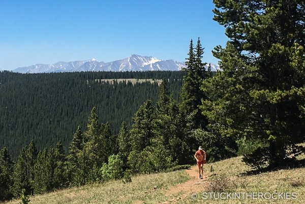
At the top of the first climb that leads over to Buffalo Meadows. You can see Mount Princeton and Mount Antero out in the distance.
The Buffalo Peaks Wilderness, while still high in elevation, gets less snow in the winter and dries out a bit earlier than some of the other mountain trails in this part of the state. For that reason, if you’re looking for a good early season trail adventure and other places are still hanging onto some snow, consider checking this loop out.
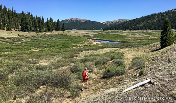
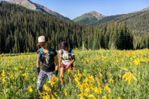
Cruising through the Buffalo Meadows.
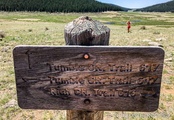
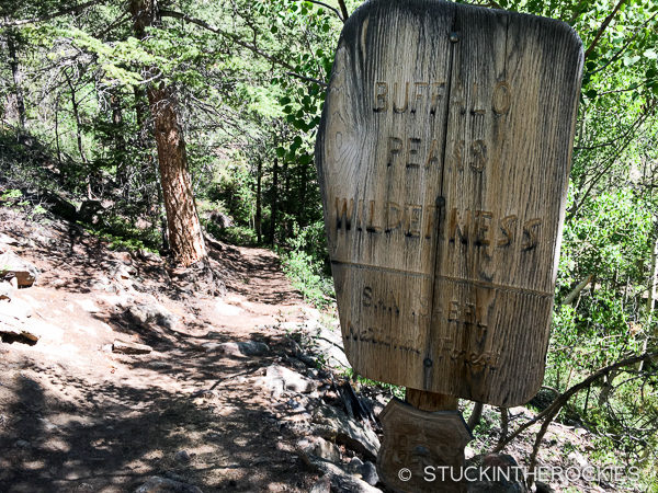
One of the many signed trail junctions.
We started at the Four Mile Trailhead just north of Buena Vista and ran the loop clockwise. The initial 3-4 mile climb to the pass is entirely runnable and from there you do a really gradual descent through the Buffalo Meadows, a series of open, high alpine grassy meadows. It looked like a sure place to see some moose if we were lucky. We weren’t.
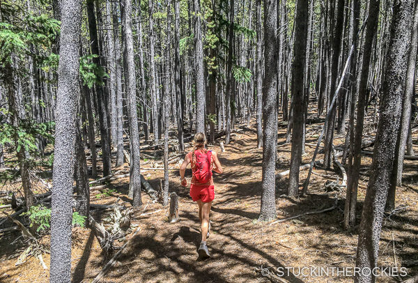
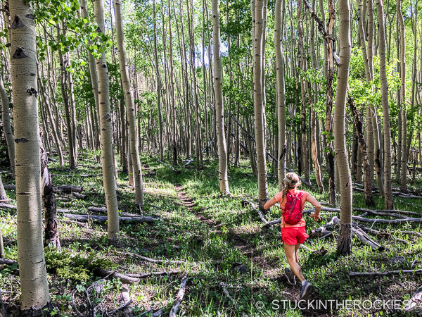
Christy on the go along Trail 618.
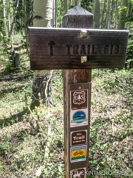
Trail 618, the Salt Creek Trail, is very well marked through the back end of the loop.
It eventually descended down along the “Rough and Tumbling Creek” (the actual name) to a signed trail junction that connected us with the Salt Creek Trail. We followed the well-signed trail (#618) all the way back around to the Four Mile Trailhead.
And back to the Four Mile Trailhead.
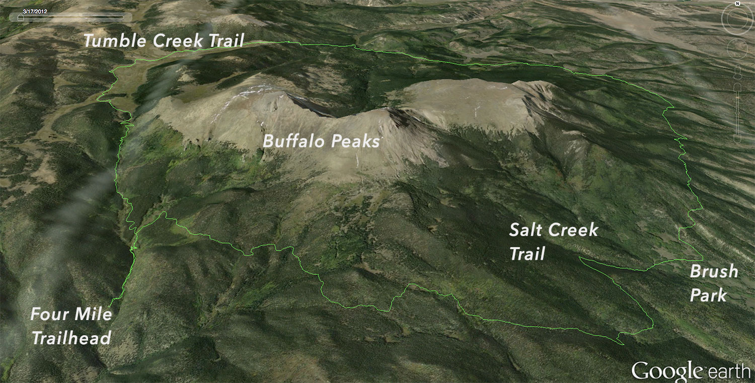
The Google Earth view. Click to enlarge.
The total mileage was about 25 miles and the elevation gain was about 4,400 vertical feet, much of which was spent at or near 10,000 feet. It was a perfect early summer long loop, and one that we might have to revisit in the future.


Leave a Reply