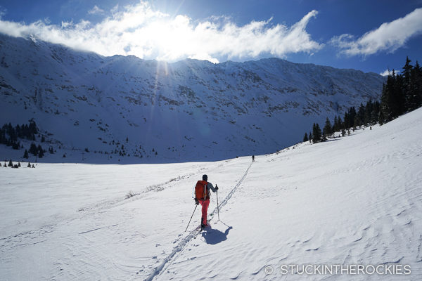
Heading up the gentle valley from the trailhead towards Mount Tweto.
Route: Northeast “Crack” Couloir
Team: Christy, Ted, Joey Giampaolo
Easy access from Fremont Pass, a gentle approach up the valley, and an interesting couloir that keeps you on your feet all make Mount Tweto, 13,672 ft., a worthy spring ski descent.
The three of us left from the trailhead pullout on the side of the highway and began skinning up the valley, following some old jeep roads and railroad tracks. The valley slowly turns south, passing Mount Arkansas along the way (though it’s out of sight) until the north side of Mount Tweto comes into view.
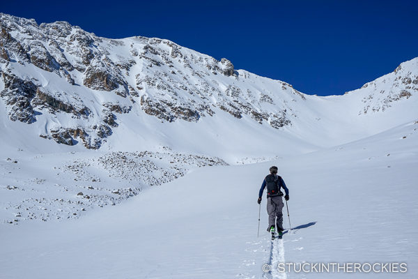
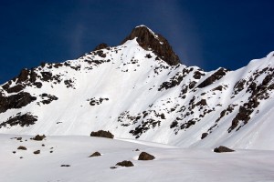
Mount Tweto’s summit is to the left of center in the photo and the couloir we skied can be seen as the minor gulley coming off the top. The easier route to the summit is to gain the saddle in the distance
This mountain may be pretty light on snow during the main part of the season, it’s during the spring months that it really comes into condition as a skiable summit.
As you approach the north face there may be a few different ski lines that come into view. The Crack Couloir descends from the summit down to the lookers left. You can climb the couloir, or for easier access to the summit, consider gaining a saddle to the west and then following the ridge to the summit. Either way.
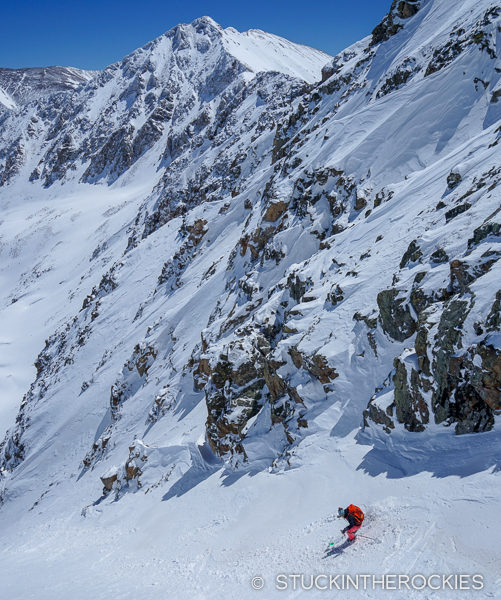
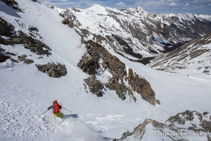
Christy in the Northeast “Crack” Couloir.
I’m not sure if it’s due to wind or to the underlying topography of the couloir, but it’s an interesting ski in that there are a few wind rolls and off-camber sections– it’s not your standard plumb-line couloir, it’s more interesting than that.
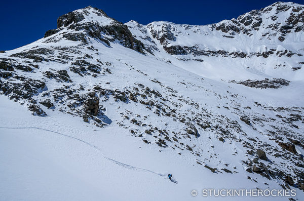
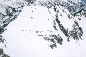
Taking a route back to the trailhead that brought us under the north side of nearby Mount Arkansas.
It’s not too far down to the valley floor and then you can just schuss back to the trailhead.


Leave a Reply