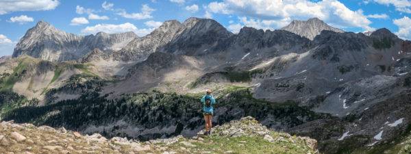
The views were tough to beat.
Always looking for new places to explore, we pulled out the map and zoomed in on Marble. We’ve covered a lot of this area through the years but always felt like there were large zones we still hadn’t seen. Years earlier we started trail running on a huge loop nearby that opened our eyes to some new valleys to check out. So we drew up a route that hit some of the new areas around Marble and Avalanche Creek and headed out.
The route started and finished at the North Lost Trail trailhead just outside of Marble. Drive past Beaver Lake and up Daniels Hill to the fork at the Lead Kind Loop jeep road. Take the high road to a wide creek crossing and just before you cross it, look for the trailhead on your left.
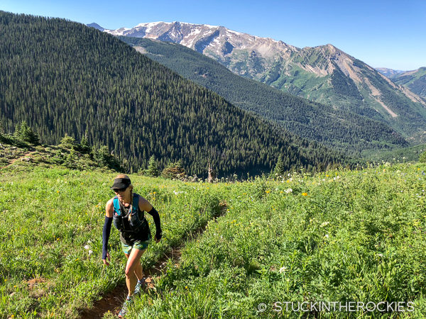
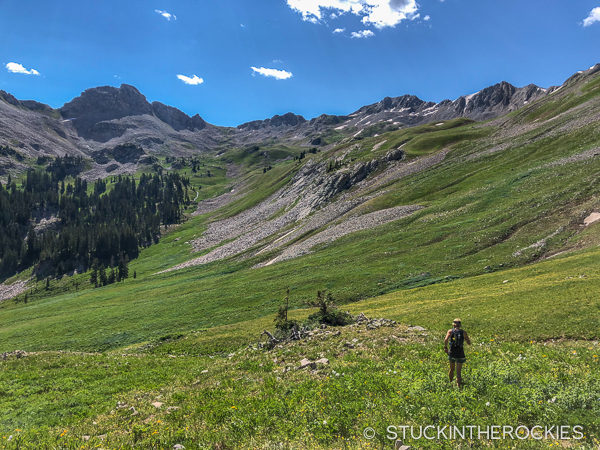
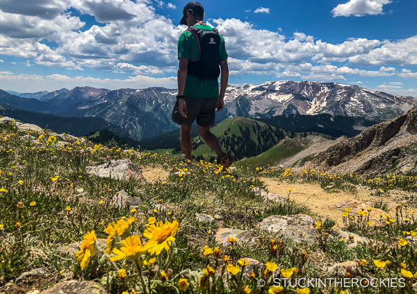
Heading up Buckskin Basin.
Follow the North Lost Trail up valley, cross the creek twice, and continue to a signed trail junction in the trees. Stay left towards Buckskin Basin (right goes to Silver Pass, you’ll return home this way), and follow the switchbacking trail high into a beautiful valley. Be sure to pay attention and have a map or an idea of the route. A quarter mile after the signed intersection the trail splits and this turn can easily be missed.
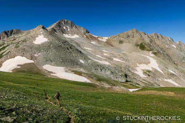
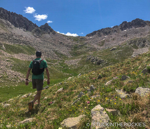
Nearing Avalanche Pass, Mount Daly is the summit in the background.
Hike or run up the Buckskin Basin trail. As you get higher the shoulder of Mount Daly will be on your left. Crest a minor pass that leads over into Carbonate Creek, and then look for another pass just to the north, marked on the map as Avalanche Pass. Reach Avalanche Pass and take in the view.
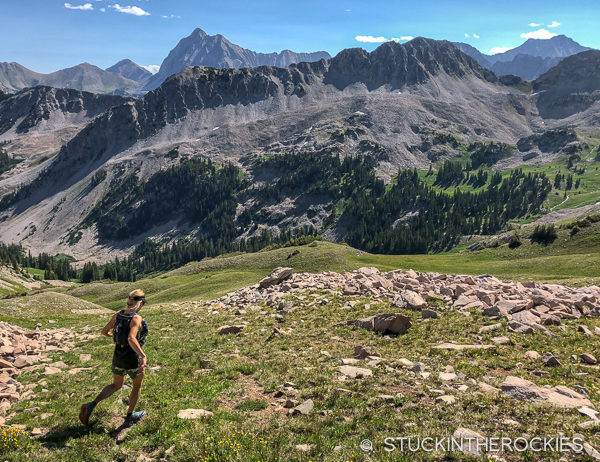
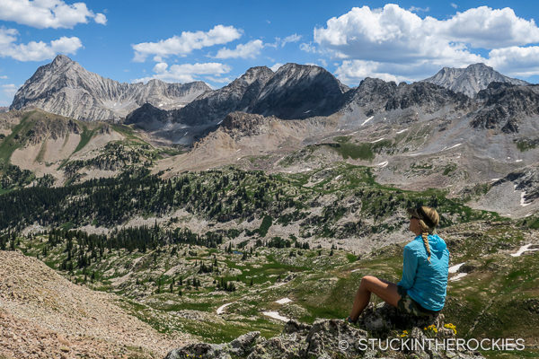
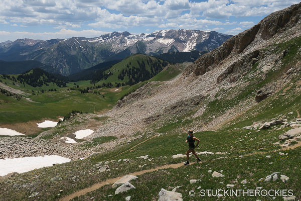
Descending from Avalanche Pass. Capitol Peak is the tall mountain out on the horizon.
Descend an intermittent trail down into West Avalanche Creek until the angle flattens out a bit. Look out to the east, to the right of Mount Richey, and identify a low, grassy saddle and start towards it. As you near the saddle a series of game trails will merge into one well-defined route. Until that point don’t count on having a trail to follow.
The low saddle on the ridge out in the distance is the goal, the second pass of the loop.
A closer look.
Reach the grassy saddle and take in the view, again.
More crazy views, this time from the second (nameless) pass of the day. Snowmass Mountain is out to the right.
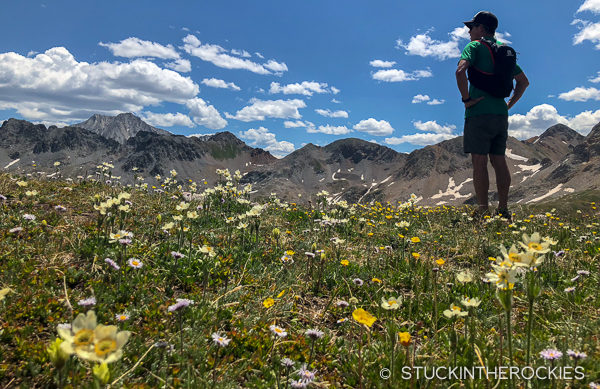
The wildflower perspective.
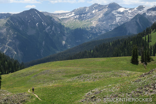
From the second pass you’ll be looking down into East Avalanche Creek. Your next destination is Silver Pass, to the south. Look for some game trails to descend off this second pass and make your way down and across this new basin, eventually reaching a more substantial trail that goes up to Silver Pass. At the top of the Silver Pass you’ll see the massive ridge of Treasure Mountain to the south, and this will be the start of the descent back to trailhead.
Leaving the top of Silver Pass.
Heading down from Silver Pass.
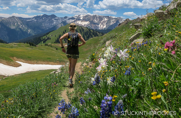
It’s a pretty sweet spot for wildflowers.
Follow the good trail down through the grassy valley, which can be overgrown with wildflowers if you time it right. A mile or so down the trail you’ll reach another fork. Turn right and you’ll be heading back to the North Lost Trail trailhead. A couple of miles later you’ll reach the sign junction you were at earlier in the day. Retrace the route back down to the trailhead and your vehicle.
And keep going. Eventually you’ll connect with the North Lost Trail at a signed intersection.
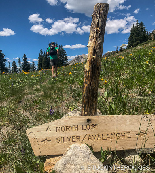
The sign and the intersection.
If time allows, stop at Slow Groovin’ BBQ down in Marble on your way home.
Route stats: 12 miles, 4,800 feet vertical gain, high point 12,265 ft.
Check out the map below, click to enlarge.

The route, we did the loop section clockwise. Click to enlarge.


7 Comments
Leave your reply.