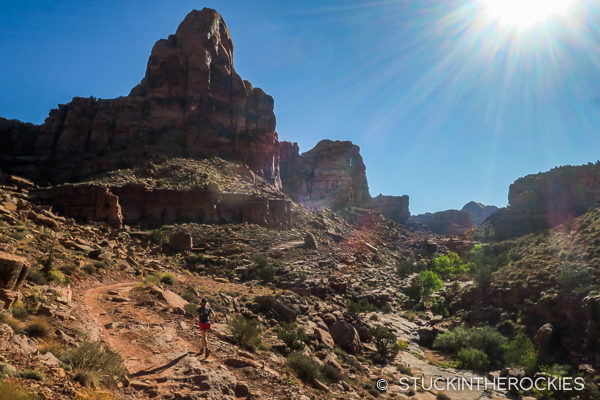
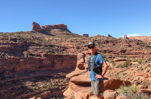
Christy, starting up Pritchett Canyon.
If you’re looking for a moderate length trail run outing around Moab, Utah, the loop made by linking up Pritchett Canyon with the Hunter’s Rim Trail is a great option. It’s only a short drive from Moab’s Main Street, it’s neither too technical nor too sandy to be able to maintain a good running pace, and it’s really scenic.
From downtown Moab head out of town on the Kane Springs Road for a few miles and park in one of the large lots soon after the paved road turns to dirt. The Pritchett Canyon jeep road starts back at the end of the asphalt. Run through the gate at the signed trailhead and consider heeding the sign asking for a couple of bucks to pass through the private property. Once on the road/trail, follow the obvious double-track up the canyon.
Despite the multi-use nature of the road, it’s too technical for many jeepers so it’s not very busy.
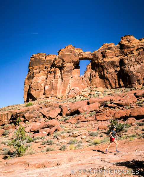
Further up, Pritchett Arch will come into view.
At times the road gets obscured by sections of slick rock, or it climbs and descends some unlikely routes a vehicle would travel. Stay on the road for about 3.5 miles and the look for a trail sign and fork climbing up to the right (south). Leave the main canyon there and continue higher, eventually gaining a pass around mile 4.5. You’re at the high point of the loop.
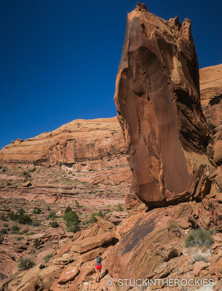
Another arch, unnamed, along the way up to the pass.
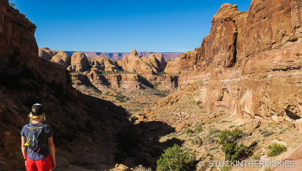
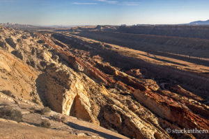
Looking back down Pritchett Canyon.
Descend the road down the other side of the pass and follow a smooth-sand double track to an intersection at mile 6 with a sign for “Behind the Rocks”. Take a right (northwest) turn there and follow the Hunter’s Rim Trail. It starts as a continuation of the jeep road that eventually ends and becomes a cool singletrack that contours above Hunter’s Canyon on its northeast side.
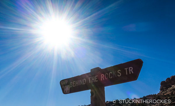
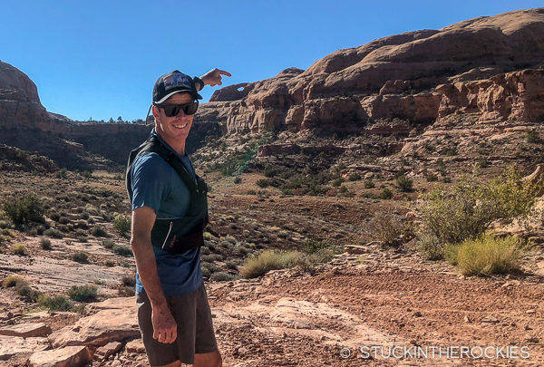
The signed fork.
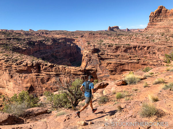
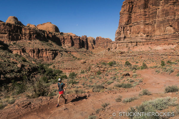
Running along the rim of Hunter’s Canyon.
The road becomes a more technical singletrack after couple of miles.
After about four miles on the trail you will descend down into an arm of Hunter’s Canyon which leads to the Kane Gulch Jeep Road. From there you can follow the road back (initially going uphill) to where you started.
As you near the end of the Hunter’s Rim Trail you’ll see the Whale Rock formation in the distance that marks the Amasa Back trail network.
As an option to extend the route, you’ll pass the popular Amasa Back trailhead as you descend to the finish, where you can add any number of miles to the day.
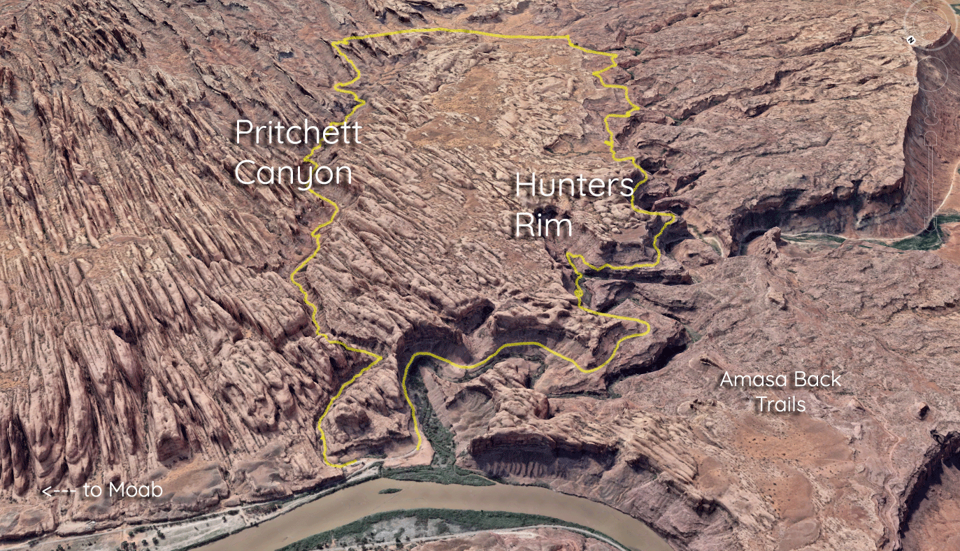
Here’s an overview of the route. Click to enlarge.
In total it’s just over 12 miles with about 1600 feet of gain. If you’re looking to go on a trailrun for a few hours near Moab, check out this loop. Coincidentally, it also serves as much of the course for the Moab Trail Half Marathon each year so we’re not alone in believing it actually makes for a good run.


3 Comments
Leave your reply.