Geyser Pass Yurt
A ski trip to the Geyser Pass Yurt and Mount Mellenthin in the La Sal mountains outside Moab, Utah.

A ski trip to the Geyser Pass Yurt and Mount Mellenthin in the La Sal mountains outside Moab, Utah.

Hitting the desert for a mid winter break.

A slot canyon adventure to the High Spur of Robbers Roost.

A trip to San Rafael Swell to explore Bell and Little Horse Canyon and Chute and Crack canyons.

Mountain biking the White Rim in a day in Canyonlands National Park.

The weather was forecasted to be pretty nice. I wasn’t going to be skiing for while. A mid-winter break to the desert just felt like the right thing to do.

A cool 12 mile run near Moab, up Pritchett Canyon and down the Hunter’s Rim trail above Hunter’s Canyon.

Taking it all in under Neville’s Arch, deep in Owl Canyon. You can barely make out Christy (in red) beneath. We recently made a trip to Fish and Owl Canyons down in Cedar Mesa. It’s a region of Southeastern Utah that’s home to canyons, mountains, forested mesas, impressive sandstone formations and considerable Native American history. (more…)

At the far southern end of the Needles District of Canyonlands National Park is a valley called Salt Creek. The Salt Creek region is full of ancient ruins and petroglyphs unlike other areas of this National Park.

Christy standing in “The Windows” with Turret Arch behind, in Arches National Park. Since it was cold in the mornings we headed out to shoot some photos to allow the temperature to warm before hitting the trails. We like to say we’re just playing the hand we’ve been dealt. That is, when current conditions don’t allow for certain activities, just go with what’s working. In this case, we had such...
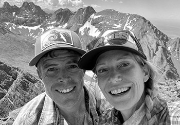
 We met in Aspen in 2000 and have been happily stuck in the rockies ever since, getting out in the mountains every day we can, in every season and by all means possible. Read More
© 2024 · Stuck in the Rockies