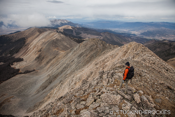
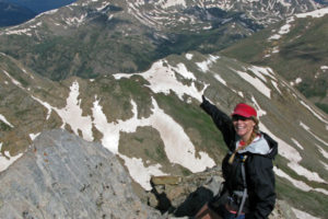
Just below Cottonwood Peak’s summit, looking north towards Hayden Pass.
Continuing with our somewhat slow motion project to climb the prominent summits of the Sangres, we headed to Cottonwood Peak last weekend.
Anchoring the north end of the long, narrow Sangre de Cristo mountain range lies Cottonwood Peak, 13,588 ft. a bicentennial best accessed via a rough jeep road that climbs high into Cloverdale Basin by the Cloverdale Mine. We usually prefer a good backpack approach to access mountains, but when a jeep road is the best method of access, we’re not afraid the engage the 4-LO and play along. The Cloverdale Basin jeep road is definitely rough in spots, though it’s not nearly as bad as others in the area like the route up to Como Lake or South Colony Lakes. That said, there are a lot of carefully negotiated moves that could tear off a mud flap or otherwise leave a mark.
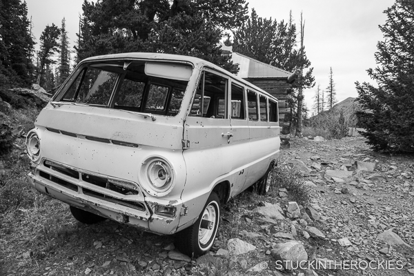
Nice ride. High up the rough road we came across an old beat up van with 4wd lock out hubs. Haven’t seen that before.
After about four slow miles on the road, we reached Rainbow Lake where we car camped for the evening. The following morning we hiked the remainder of the road up past the old mine and into the upper valley. From there we followed faint, if not non existent trails up to Garner Pass and began our loop of Cottonwood Peak. From the pass we headed northwest around a subpeak of Cottonwood and continued towards the summit, which was shrouded in clouds.
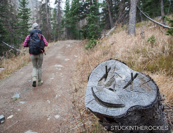
Some trail art in the upper valley welcomed us to the area.
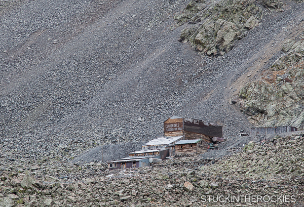
A view of the old Cloverdale Mine.
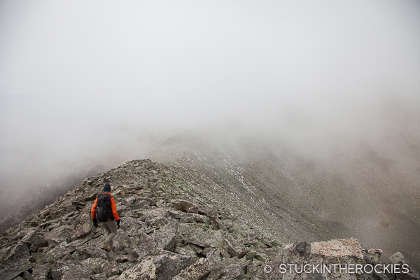
On the ridge between Garner Pass and Cottonwood Peak.
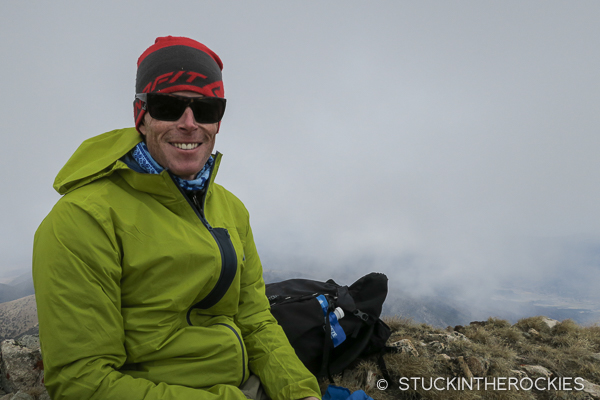
On the summit, waiting for the clouds to break so we could catch a view.
After taking a break on the summit long enough for the clouds to lift and give us some views, we descended north and then east to Silver Lake, and then eventually reconnected with the mine road and made our way back to Rainbow Lake. If you want to have even more time up high and get two more 13re summits, a good alternate loop could be made if you reversed our route and extended it. That is, go to Silver Lake, climb Cottonwood, head to Garner Pass and rather than descend, continue on to Thirsty Peak and then Eagle Peak. Follow Eagle’s East Ridge back down to Rainbow Lake. It’s marked on the Google Earth image.
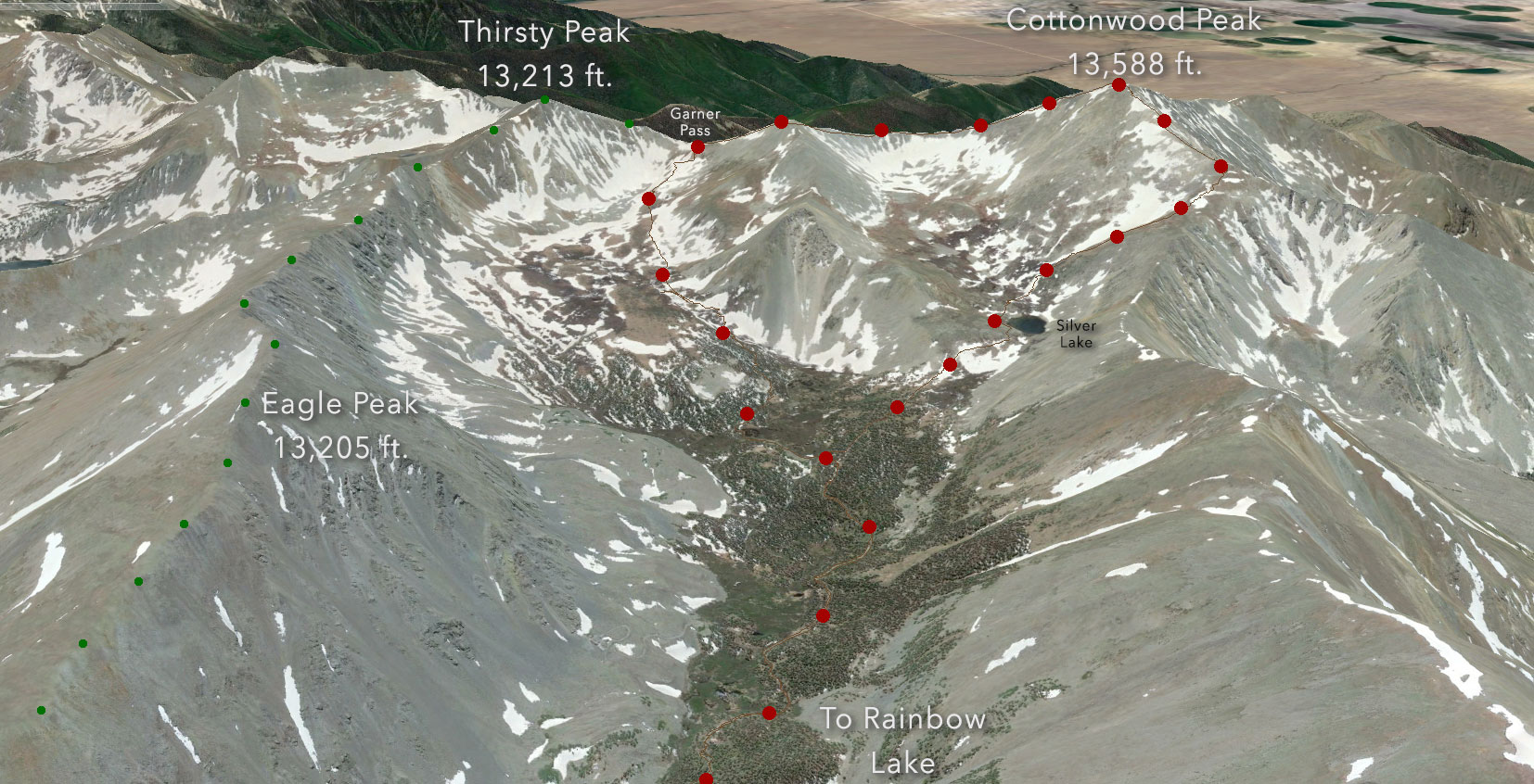
The Google Earth overview. Our route and the longer route over Eagle Peak are indicated. Click to enlarge.
I guess we’ll just have to save that for next time.



2 Comments
Leave your reply.