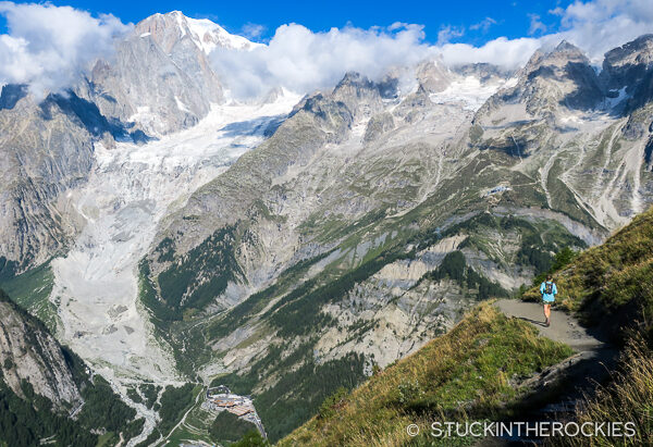
The Mont Blanc Massif lies in the Western Alps, where France, Italy and Switzerland come together. It’s an impressive range of mountains with eleven distinct summits greater than 4000 meters including Mont Blanc, the tallest mountain in Europe west of the Caucasus. It also offers an incredible network of trails connecting the villages throughout the surrounding valleys. When linked up in a certain way, those trails make an enormous loop known as the Tour du Mont Blanc, crossing through the three countries while circumnavigating the entire Mont Blanc range.
The Tour du Mont Blanc (TMB) is a European classic. There is an official mapped and marked TMB course, but in many sections there are some route options to consider, or variantes as the Europeans call them. Depending on what you seek for mileage and vertical, how many days you’d like to be on the route, and which towns or huts you’d like to visit and stay at each night, there are countless ways to tackle the Tour du Mont Blanc.
For that reason, the mileage and vertical can vary depending on the exact route you follow. Generally speaking though, most TMB courses cover a little more than 100 miles and ascends over 30,000 feet.
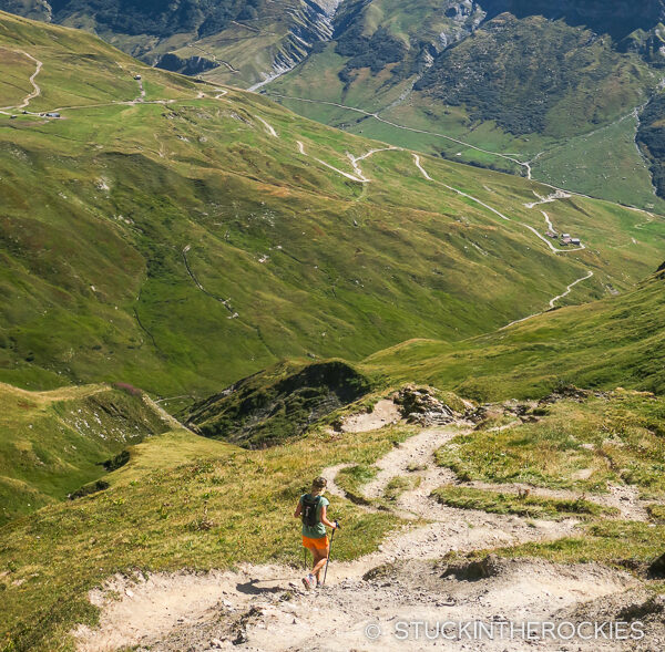
This route typically begins in Chamonix, France and heads around the mountain in a counter-clockwise direction. After departing Chamonix, most TMB routes will pass through the village of Les Contamines, and then head into Italy to Courmayeur, over to Switzerland and through the small town of Champex-Lac, and then return to Chamonix.
The fast-paced crowd can attempt this loop in a single push. In late August each summer, the Ultra Tour du Mont Blanc (UTMB) takes place, where 2500 runners race the loop. The winners finish in the low 20 hour range! In the case of UTMB, in order to accommodate certain towns for support and hit the 100 mile mark, the route differs in a few sections from the typical TMB loop. In addition to the aforementioned towns, it visits Bionnassay, Chapieux, and Vallorcine, and skips a few scenic alternative passes we visited.
Backpackers often choose to cover the loop with a more casual pace, in about 10 days, staying at mix of huts, hotels and/or campsites.
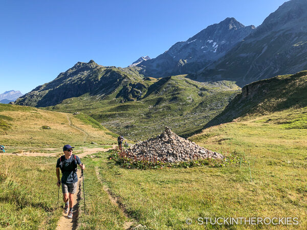
As trail runners, we wanted to do it semi-fast but not have the suffering and sleep deprivation involved with UTMB. We opted for a four day itinerary. It began with a relatively mellow first day to Les Contamines, followed by three 30-ish mile days that brought us all the way back to Chamonix.
The map below shows our route. We started in Chamonix and ran counter-clockwise.
So as to keep our packs super-light, we enlisted the support of Run the Alps. Owned by trail runner and friend Doug Mayer, Run the Alps offers guided trail running adventures all over the Alps, as well as planning and logistical support for your own self guided adventures. Not only did Run the Alps make lodging arrangements for us each night, they also had a duffel bag of ours shuttled as we were running each day, which was conveniently waiting for us at our hotel after every day on the trail.
We’re used to big efforts and have no problem dirt bagging here and there, but having this service made the whole trip considerably more enjoyable. A lighter pack makes the long days on the trail easier. Having an extra set or two of clothes and not needing to wash your socks in the hotel or hut sink at night is pretty nice too. Plus, we only needed to have the extra “what-if” clothing and layers on the days that actually required it. We didn’t have to carry a proper rain coat when the forecast called for sun, we just left it in the duffel bag and hit the trail without it that day.
For more info on Run the Alps, visit their website here.
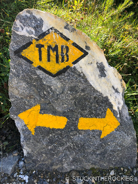
As for some details of our four day route:
Day 1 – Chamonix to Les Contamines
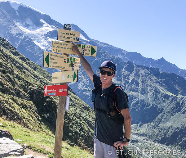
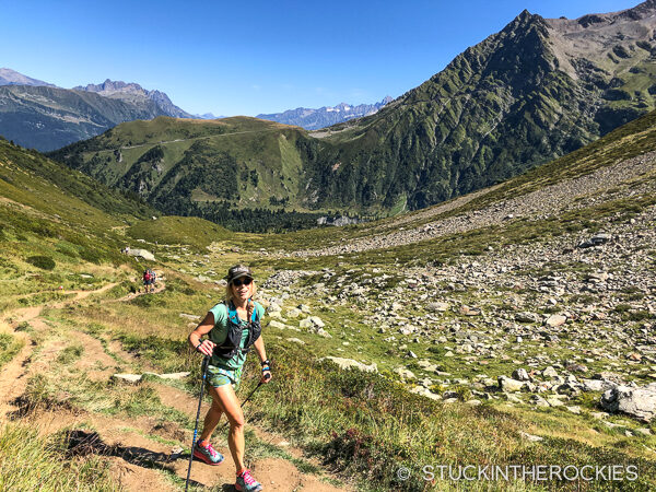
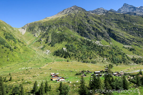
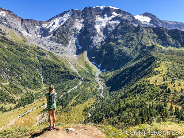
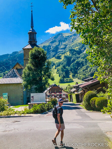
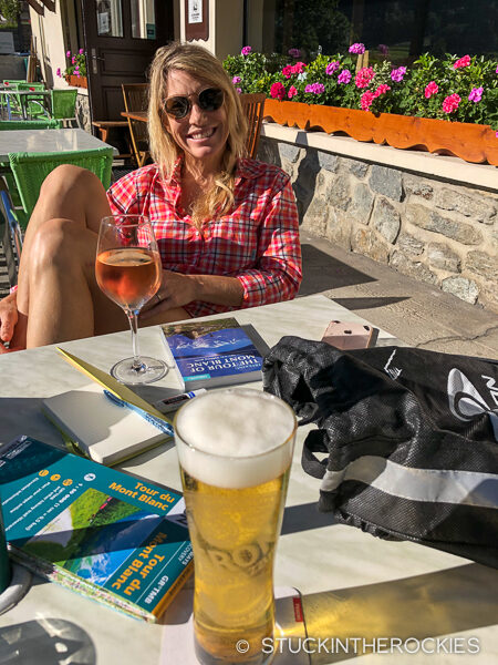
From the center of Chamonix we ran southwest out of town on bike and running paths to the village and ski area of Les Houches. The first climb began up to the top of the ski hill, to Bellevue, which was followed by a descent and climb up to the Col de Tricot. Steep switchbacks down from the col led to the Refuge du Miage, where we filled up our bottles. Had we needed a break for lunch, the refuge would’ve been the ideal spot. Moving on, we made a short climb up to Mont Truc and then followed some trails down to the beautiful village of Les Contamines, where we spent the night.
Day 2 – Les Contamines to Courmayeur
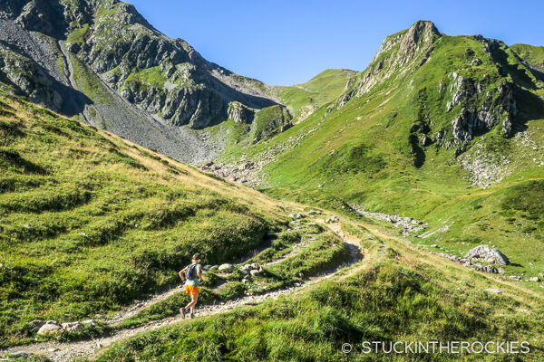
We departed Les Contamines after breakfast and headed south. We were usually got going on the route around 8am each morning. The first leg of the day had us ascending to the Col du Bonhomme. It was gradual at first and then steepened as we neared the Refuge de la Balme. A trail from the Col du Bonhomme ascended further to the Col de la Croix du Bonhomme. A refuge by the same name was down on the far side of that pass. We didn’t check it out closely, our route instead continued up higher, to the Col des Fours, the high point of the day.
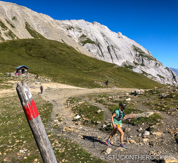
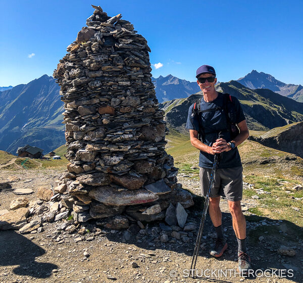
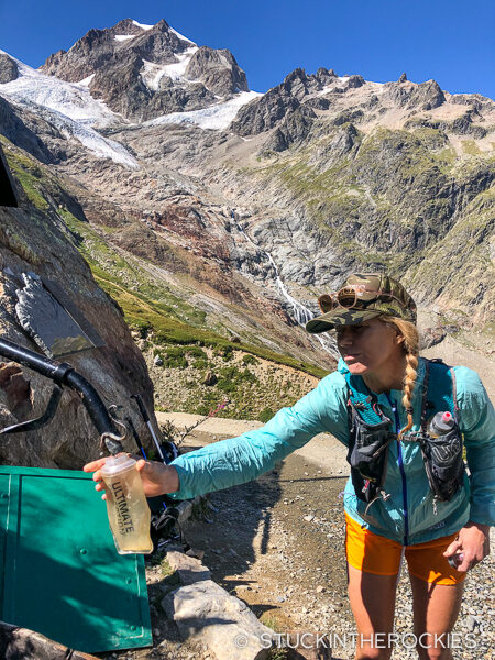
From Col des Fours, a long descent led us to la Ville des Glaciers and the Refuge des Mottets. We took a short break and filled up with water there before starting up to the Col de la Seigne. Crossing that pass brought us into Italy. A long trail descended down the valley towards the Rifugio Elisabetta, where we stopped for a little something to eat and drink.
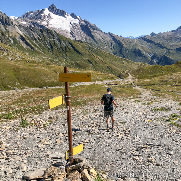
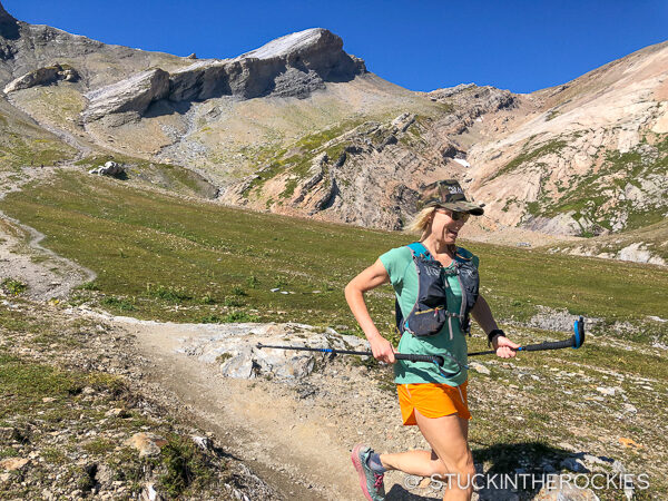
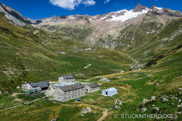
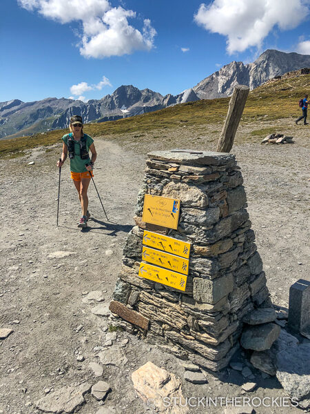
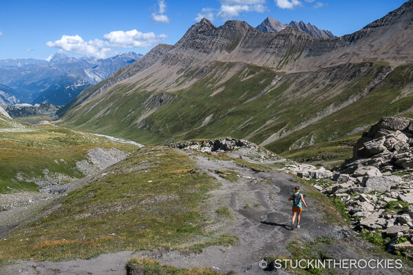
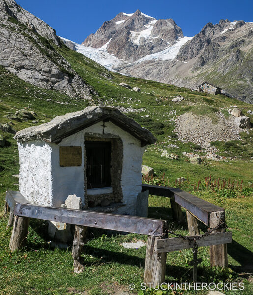
From the rifugio we descended further, past the Glacier du Miage and towards the Val Veny. One more climb up above the south side of the Val Veny led to a ski area and the Rifugio Maison Vielle. The town of Courmayeur could be seen to the east, and some steep trails took us down the ski slopes and into town where we spent our second night.
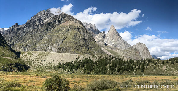
Day 3 – Courmayeur to Champex-Lac
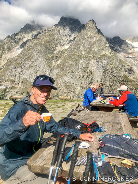
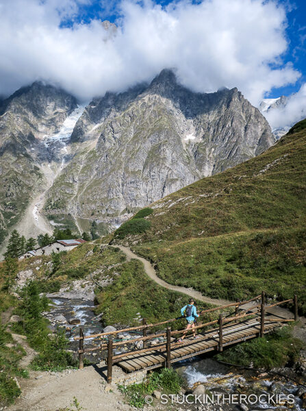
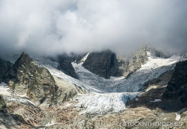
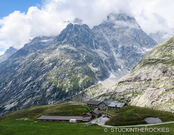
By now we were settled into the routine and we departed Courmayeur, ready for a long day. We climbed up a steep trail to the Rifugio Bertone, which brought us to an incredible traversing trail above the valley below (Val Ferret) and towards the Bonatti Hut. This section offered some of the best views of southern side of the Mont Blanc massif. After a quick stop at the Rifugio Bonatti for an espresso, we were continuing on our way to the northwest, and the Swiss border. We passed the Hotel Chalet Val Ferret, the Rifugio Elena, and climbed up into the clouds and over the Grand Col Ferret.
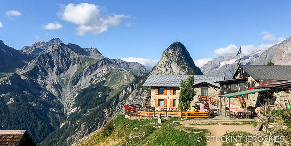
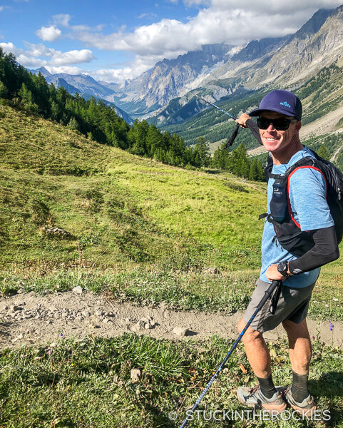
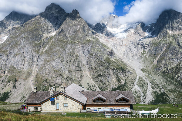
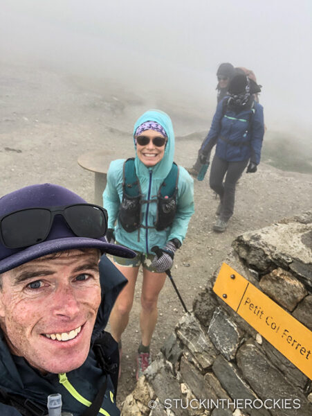
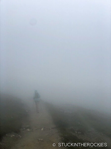
And just like that, we were in Switzerland. The weather had deteriorated, we were in low clouds and fog. There was some light drizzle, nothing too bad but enough to close down the views. We followed the route down through La Peule, Ferret, and La Fouly. We stopped at a grocery store in La Fouly as if it was a race aid station. We bought two bananas, two cans of Coke, chips, and chocolate bar. We had an easy, yet long stretch to get to Champex-Lac. We followed the trail down through the Swiss villages of Praz de Fort and les Arlaches, and then began a climb up to Champex. We arrived to the small lakeside village and our hotel about 10-11 hours after we started that day.
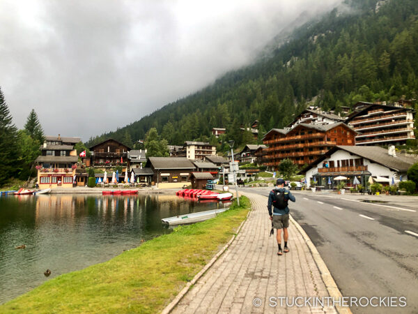
Day 4 – Champex Lac to Chamonix
We woke to snow on the surrounding high peaks which forced a route decision. Our original plan was to go over the Fênetre d’Arpette to Trient, but with the new snow we figured the safer call would be to skip the high pass and run a slightly lower route, one that follows the UTMB course. From Champex we headed out on a cold, cloudy morning and climbed up to Bovine, down to Col de la Forclaz, to Trient, and then up and over to Vallorcine. We followed signs up valley to the Col des Montets and stopped at a nature center with a small cafe. We bought a couple of drinks and snacks before starting up the final ascent of the day and the TMB loop.
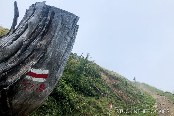
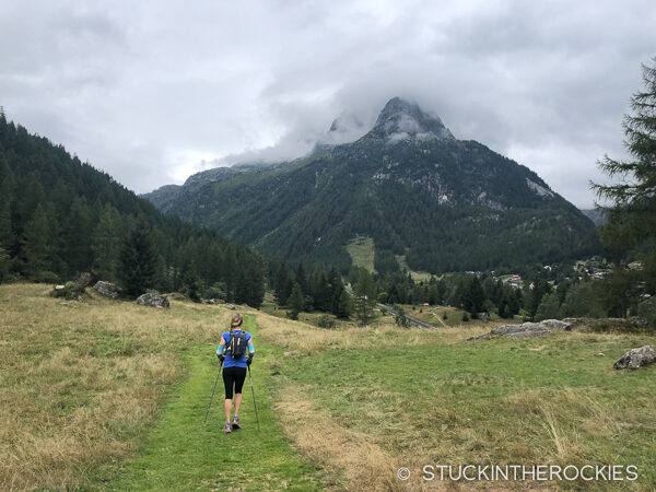
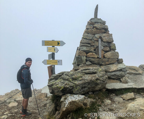
The last climb up towards Lac Blanc and Flegere was steep at first, but it had a homestretch feel which was exciting. As the trail topped out and the angle relented, we began the traverse to Flegere. And while the low clouds unfortunately blocked the views of the mountains and the Chamonix valley, we did encounter a group of ibex on the trail. It was our first experience seeing the incredible animals, they almost seemed to be putting on a show for us.
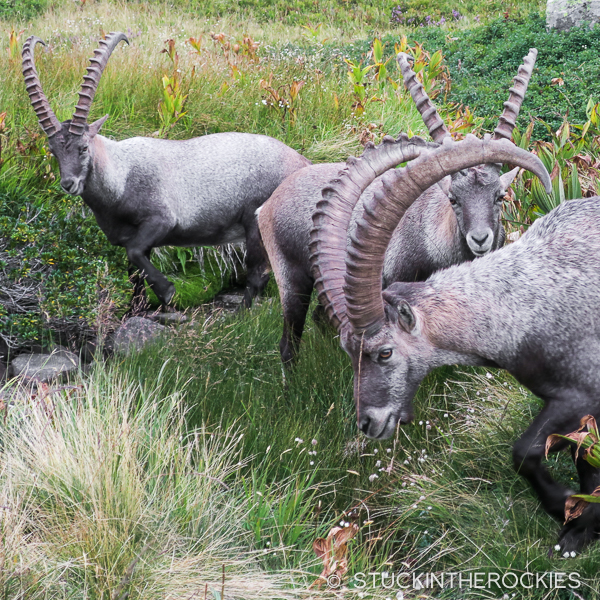
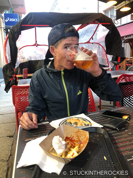
After some time watching the ibex, we continued on to Flegere and began the final descent to Chamonix. We finished right downtown and went straight for burgers and beers. We closed the loop, the Tour du Mont Blanc was complete!
As for the trip stats over the four days:
- Day 1 – Chamonix to Les Contamines | 16.63 miles / + 5362 ft.
- Day 2 – Les Contamines to Courmayeur | 28.66 miles / + 9198 ft.
- Day 3 – Courmayeur to Champex-Lac | 31.69 miles / + 8438 ft.
- Day 4 – Champex Lac to Chamonix | 28.64 miles / + 8616 ft.
Total: 105.62 miles – 31,614 ft.
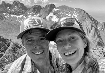
Having spent a large part of our lives pursuing outdoor objectives on the trails and mountains, Christy and I felt that our experience on the Tour du Mont Blanc was one of our favorites. It’s definitely worth doing, we actually think we may try to do it again very soon. Beautiful scenery, well-marked trails, European food, culture, and hospitality, all customizable to fit the length of time and level of effort you prefer… put the TMB on your list. And consider calling Run the Alps to help make it happen.



7 Comments
Leave your reply.