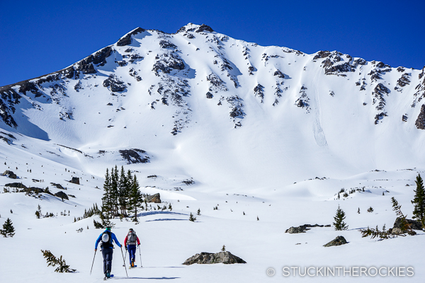
Hidden in a sea of mountains near Independence Pass is a high 13er named Deer Mountain. At 13,761 ft., it’s one of Colorado’s Bicentennial Peaks. But it’s somewhat hidden from view and adjacent to taller mountains like Mount Elbert and Massive and countless other high 13,000 foot summits so it’s often off the radar of backcountry skiers.
That’s too bad, because Deer Mountain has a very aesthetic and fun north face that offers a half dozen moderately steep couloirs for skiing. And it also has a remoteness compared to other more prominent mountains in the area. You’ll probably have it all to yourself.
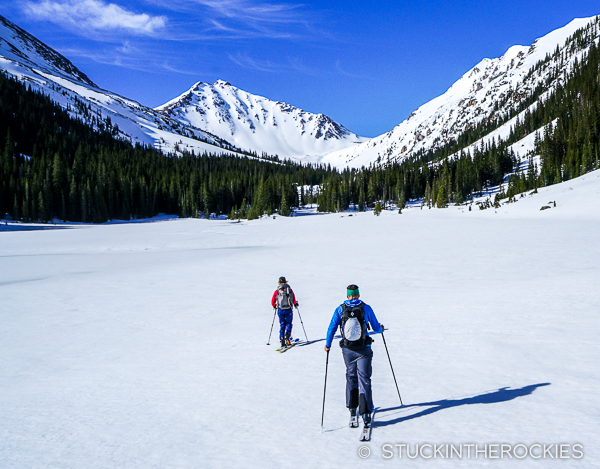
Deer Mountain can be accessed from three different sides. When Independence Pass is open, it’s common for hikers and skiers to start at the low hairpin on the Twin Lakes side of Highway 82 and head up the North Fork of Lake Creek. A few miles from the trailhead, after passing below the long ridge of Mount Champion, you’ll approach a pass over to the Upper Fryingpan Valley that’s right below the west side of Deer Mountain.
Another less-common option is to access Deer Mountain from the Leadville side and Upper Halfmoon Creek. It’s a long route though, all the way in the valley past Mount Oklahoma.
And if you’re from the Roaring Fork Valley and aren’t afraid of a long day, consider approaching from the Upper Fryingpan Road. If you’re aiming to ski Deer Mountain’s North Face it’s the best way to go.
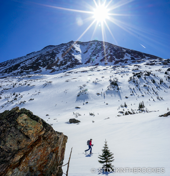
In spring, the water diversion workers plow the roads to some of the dams, reservoirs, and tunnels on the west side of the Continental Divide. One of those roads is known as the 505, and from the end of the Fryingpan Road, the 505 Road continues for about 5-6 miles to a dead end and some water diversion projects. That was our trailhead.
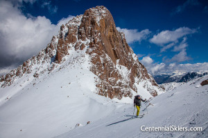
Christy and I headed up there along with our good friend and ski partner Chris Davenport. We camped at the end of the plowed road at 10,000 feet. In the morning we began up the valley to Fryingpan Lakes and beyond. The high elevation allowed us to start right on the snow and we didn’t have to contend with any dry hiking which is so common this time of year. We skinned about 6-7 miles to the base of the North Face of Deer Mountain. We looked at he options, picked a couloir to ascend on the west side of the face and headed up.
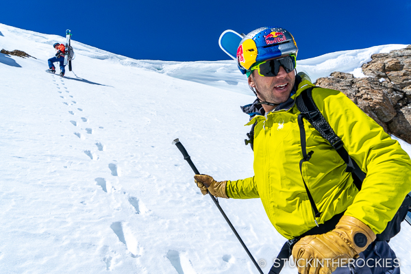
From there we gained the ridge and walked on snow and dry ground to the summit of Deer. The views were awesome.
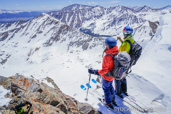
We skied right off the summit, down a pretty direct line that ran down the middle of the face. When possible we trended left into adjacent couloirs in search of snow that might be softer (but with no luck). Eventually we were off the dramatic face and retracing our route back to the trailhead.
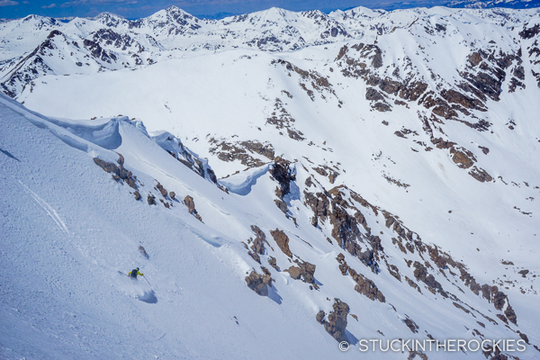
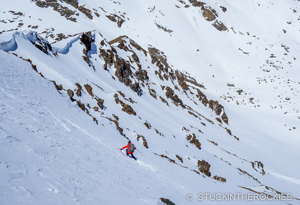
It was a cool day in a remote valley. It’s good to remember that unlike some areas, the road is plowed and accessible pretty early in the spring. That gives it an advantage over other mountains that have access issues. Deer Mountain is worth the trip.



3 Comments
Leave your reply.