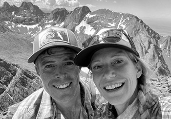
Dyer Mountain – 13,855 ft.
A ski descent of Dyer Mountain, a Centennial 13er outside of Leadville, adjacent to Mount Sherman.

A ski descent of Dyer Mountain, a Centennial 13er outside of Leadville, adjacent to Mount Sherman.

Skiing Pacific and Atlantic peaks together in one day from the east.

Christy climbing Gold Hill. The 2013 Elk Mountains Grand Traverse was this past weekend. As our last race of the season, we were thrilled to finish well– Christy was the first female to cross the line and we nabbed the top spot in the Coed Division. And after twelve finishes here (six as a team), our time of 9:55 was the fastest we’ve done together, and PR for Christy. (more…)

The route was modified a bit due to the weather, but the basic layout is here on the map. The climbs are in light green and the ski descents red, and the new section up and down Peak 6 isn’t even on the map (off to the right). Click to enlarge. Against our better judgement, Christy and I headed to Breckenridge to compete in the Five Peaks race. Earlier in...

Independence Pass Or don’t even go. Here are two photos of recent natural avalanches that sum up conditions in the backcountry around Aspen. (more…)

It’s just different up on Chair. For whatever reason, its location– between McClure, Kebler, and Schofield passes– seems to draw several times more snow than nearby mountains. I probed around high in the basin and measured 300cm , almost three times what we have in Aspen. Christy, Joey, and I joined Al and Ruthie up at their cabin recently and we had our first full touring weekend of the winter....

Joey in the Pope Chute. In need of a change of scenery after a hectic holiday stretch in Aspen, we went down to ski Silverton Mountain last weekend. They were a little light on snow, and the temps were frigid (-22F as we drove to the ski area Saturday morning), but Christy, Joey, and I still had a great time. (more…)

On the South Ridge of Lakes Peak. As exciting as it can be to see the weather change and a new season arrive, it’s not always easy to let the old one go. Rather than accept it might be time to move on to different sports and activities more appropriate for the conditions, we stubbornly insist on trying to get in one more ski, run, or climb. (more…)

Just an overview, the map misses much of the detail unfortunately. Click to enlarge. Neal jokingly referred to it as the “Outward Bound Course in a Day” loop. I’m not exactly sure how long it is, but our estimates put it in the 40-mile range. It had 11,000+ vertical feet climbed over five passes and it took all day (about 12 hours with stops). (more…)

A map of the loop. Click to enlarge. It’s a loop that we hadn’t done before– Capitol Creek to Avalanche Creek to Hell Roaring Creek. Though friends say it’s longer, we figured it to be about 26 miles, with 7300 feet of vertical gain. (more…)
 We met in Aspen in 2000 and have been happily stuck in the rockies ever since, getting out in the mountains every day we can, in every season and by all means possible. Read More
© 2025 · Stuck in the Rockies