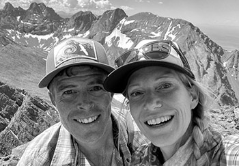
Macey Lakes
Exploring the valleys and summits of the Sangre de Cristos, this time up to Macey Lakes and Colony Baldy.

Exploring the valleys and summits of the Sangre de Cristos, this time up to Macey Lakes and Colony Baldy.

Taking it all in under Neville’s Arch, deep in Owl Canyon. You can barely make out Christy (in red) beneath. We recently made a trip to Fish and Owl Canyons down in Cedar Mesa. It’s a region of Southeastern Utah that’s home to canyons, mountains, forested mesas, impressive sandstone formations and considerable Native American history. (more…)

At the far southern end of the Needles District of Canyonlands National Park is a valley called Salt Creek. The Salt Creek region is full of ancient ruins and petroglyphs unlike other areas of this National Park.

A trip to the Weminuche Wilderness to climb the 13ers Mount Oso and Mount Nebo via Hunchback Pass, Vallecito Creek, Nebo Creek and Rock Lake.

It’s become a bit of a tradition for us to escape the July 4th crowds in town and go explore the Sangres.

Running up one of the forks of the Navajo Loop. We love Bryce Canyon National Park. We just returned from four days of trail running and backpacking there and we were blown away by the beauty. Utah has no shortage of incredible desert scenery, the state has five National Parks to showcase it all. But through the years we had always set our sights on the other members of Utah’s...

We’ve always insisted that some of the easiest peaks can present the biggest challenges. We had twice failed to reach the grassy summit of Electric Peak, 13,598 ft. in the Northern Sangre de Cristo Mountains.

Photos from a backpacking weekend up to Pierre Lakes.

Camp at the first Dry Lake. Continuing with our exploration of the peaks and valleys of the Sangre de Cristo mountains, we headed up to another new area, Dry Lakes and Horn Peak, 13,450 ft. (more…)

Looking north up the Waterpocket Fold in the morning. As you travel east (right) you pass through younger and younger rock strata. The Waterpocket Fold of Capitol Reef might be best described as a bend in the earth’s crust where subsequent erosion has exposed the underlying rock strata. Whereas the layers of desert rock are normally seen in a canyon wall stacked vertically, the layers of the Fold are tilted...
 We met in Aspen in 2000 and have been happily stuck in the rockies ever since, getting out in the mountains every day we can, in every season and by all means possible. Read More
© 2025 · Stuck in the Rockies