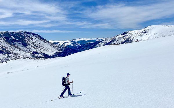
The weekend was forecasted to be sunny, perfect for skiing, so we packed up the car and headed down to Lake City. The goal: to ski UN13581.
Unnamed peaks in Colorado are labeled with the letters “UN” followed by their elevation. We’ll admit it can feel uninspired to set out for a summit that the state hasn’t even found the time to properly name. But it’s wrong to assume that those mountains are less worthy or uninteresting. In a lot of cases they’re unnamed because they’re just very remote and out of the public view. But by every other measure they can be just as tough to pull off as any other peak in the state.
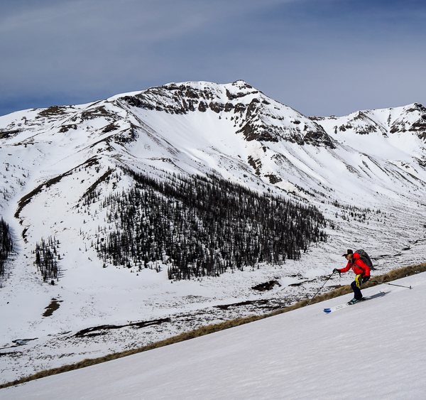
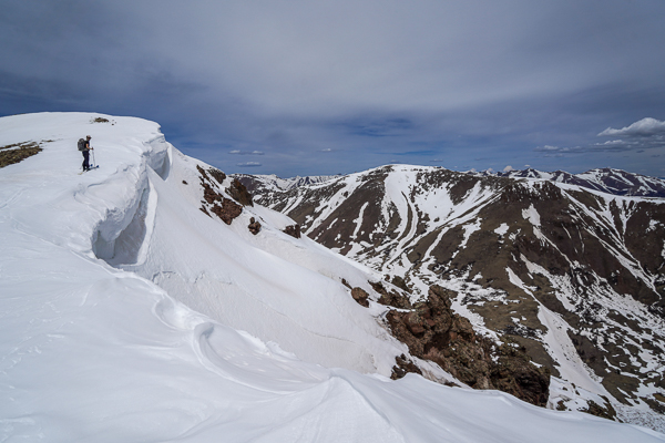
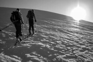
UN13581 was a tough one— pretty far to reach and with lots of ups and downs. From the town of Lake City we headed southwest to the Wager Gulch Jeep Road where we started skinning. It was a familiar location for us as the jeep road is part of the San Juan Solstice 50 mile course, a race we’ve each run ten times through the years.
Several miles up the jeep road it passes an old ghost town called Carson and continues up to a pass. From there, the race course and our day diverged.
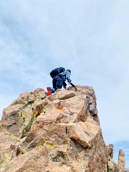
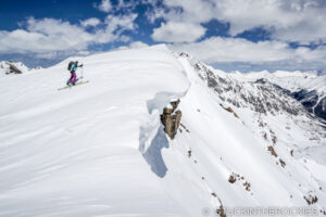
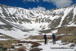
We descended down into Lost Trail Creek, crossed the Continental Divide Trail, and began making our way up the East/Northeast Ridge of UN13581. We didn’t have much route info to base our day on, we were just assessing the route as we went and tried to find the most direst and safe route to the summit. Eventually we topped out on a long ridge that lead to a bare, rocky turret. We stashed the skis and did a little scramble to the snow-less summit.
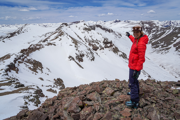
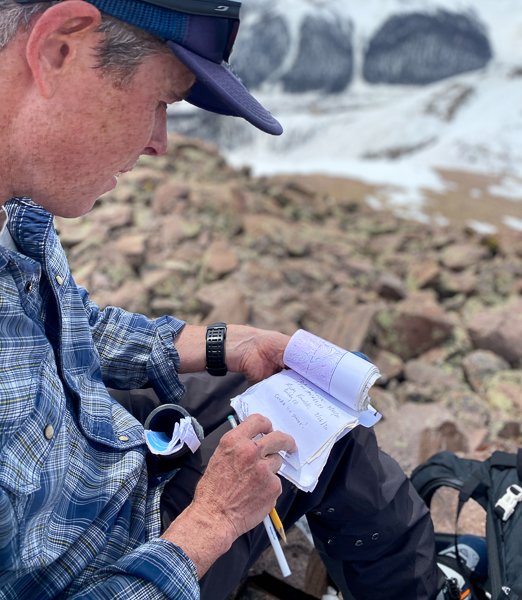
As we looked around we realized how far out we were. It was cool to have gotten into this region of the northeast San Juans. We recognized surrounding mountains and valleys from afar, but our actual location was totally new to us. To the west was the remote Pole Creek section of the Hardrock 100 course, to the north, the Lake City 14ers. And to the southeast stood Rio Grande Pyramid and the headwaters of that river.
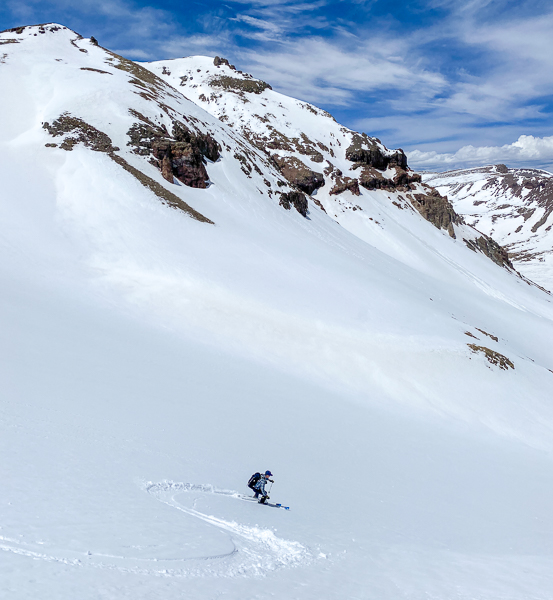
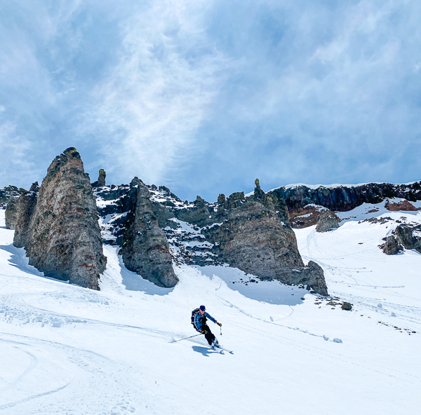
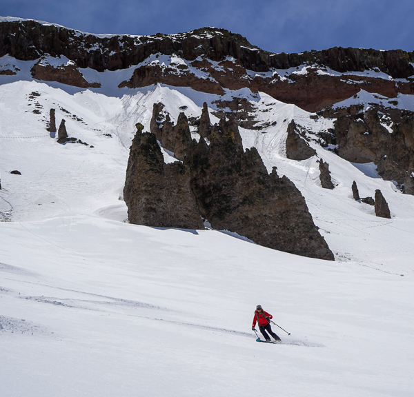
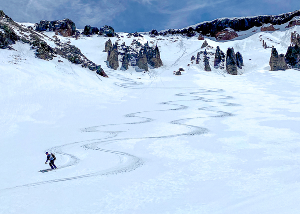
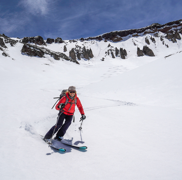
We skied from the base of the rocky summit down the northwest face, which had a lot of couloir options to choose from. The ski lines descended north back down to the Lost Trail Creek Valley. Across the valley we were able to locate the Continental Divide Trail, which happened to be melting out due to its southerly aspect, and we basically walked the CDT back to the pass (with a little skinning), and then descended back down past Carson, and to the bottom of the Wager Gulch Road.
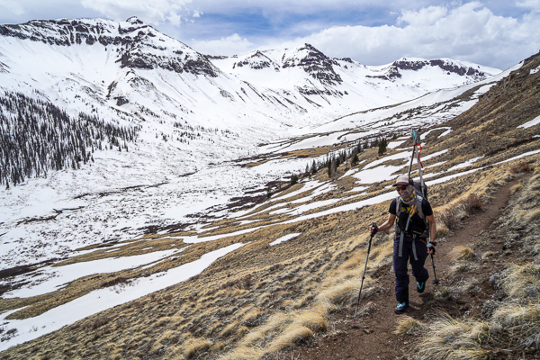
Success. It was far out there. We didn’t see a soul, or even any ski tracks for that matter. We were thrilled to have been able to explore a new valley and catch some views of several other CO Bicentennials we’ll return for someday.



Leave a Reply