
The first day in yellow, the next day in red. Click to enlarge.
I’ve never considered my own ultra training to be a model for others to follow. I excel at avoiding anything that I find unpleasant– intervals, track laps, gym workouts, etc.– and I just go out for trail runs as often as I can, hoping that it will count for something on race day. I should probably get a coach.
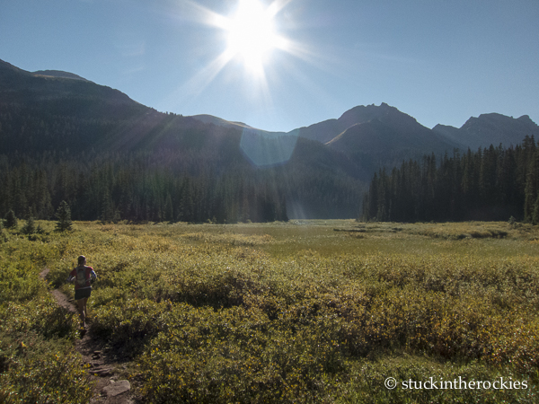
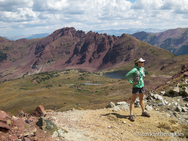
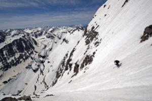
Cruising the flats below Buckskin Pass high in the Snowmass Creek Valley.
There is one aspect of distance training that I do find value in, and that is the benefit of going out when tired. Sure, rest is very important, but since training runs before a 100 miler are rarely going to cover even half of that distance, how can you prepare yourself for those late miles in a race? The answer for many is to go out for back-to-back long days, to get your legs used to running while tired. It’s the easiest way to simulate race fatigue without actually going out on an extra, extra long day that will then require a lot a recovery.
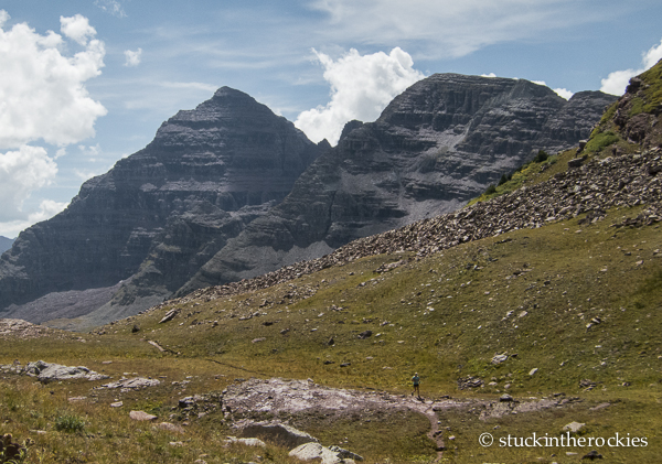
Partway down from Buckskin Pass on our way to Maroon Lake. We ran around Pyramid Peak, seen ahead.
Since Christy and I are both registered to run the Bear 100 in a few weeks, we thought it would be a good idea to do some of this. So we pulled out a long trail linkup from our Bear training playbook two years ago– Snowmass to Conundrum.
Here’s how it went. We ran from the Snowmass Creek trailhead up and over Buckskin Pass and down to Maroon Lake. The day before I left a cache at Maroon Lake, which allowed us a sort of aid station stop before heading down to the East Maroon Trail. We followed the mellow East Maroon Valley up and over Copper Pass, and made the short traverse to Triangle Pass. From there it was about 11 miles down Conundrum Creek to the trailhead, where I had stashed bikes which we rode back home, about 5 miles away.
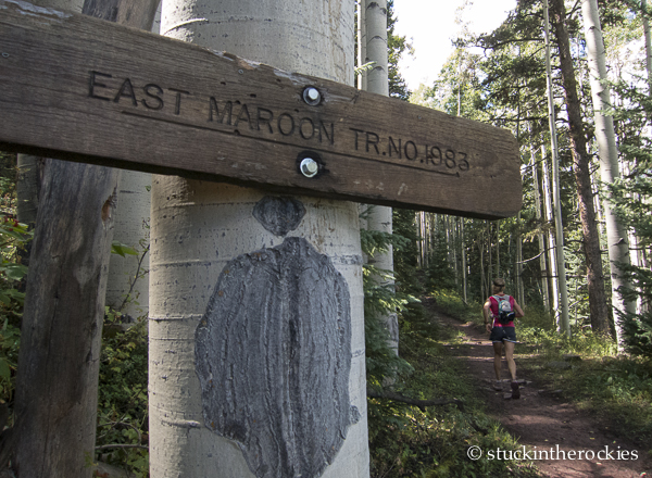
Starting up the East Maroon Trail
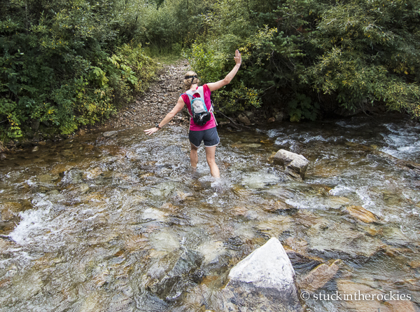
We didn’t get much rain despite being out all day, but we did get our feet wet.
It’s a 40 mile linkup, and one that follows some of the more runnable trails in the Aspen/Snowmass Wilderness zone. Obviously it’s a pretty tough all-day affair, but at least the three main valleys aren’t too rocky or steep, and most of the miles can be covered at a jog pace.
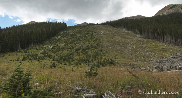
An old avalanche path, and an older avalanche path to its left that has started to grow back.
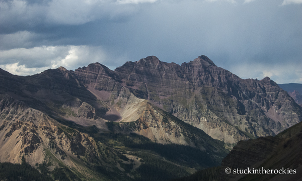
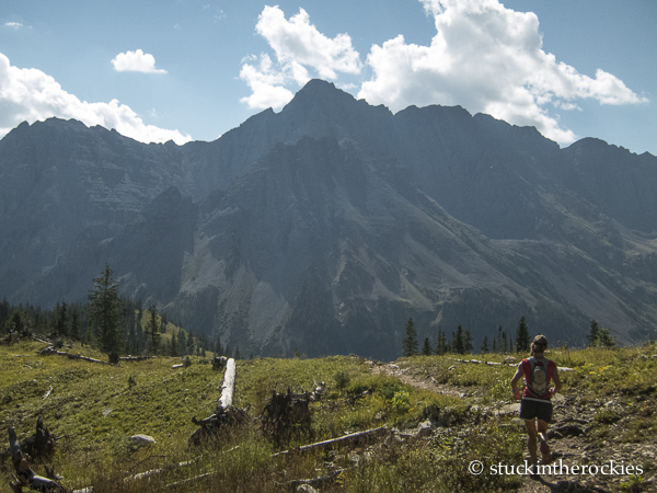
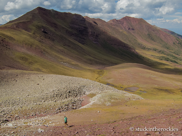
The view back to Pyramid and Thunder from Copper Pass. A slightly longer option would be to go over East Maroon Pass to Copper Lake.
We made it home before dark and thus wrapped up an awesome day, but we still had to get our car, so the following morning we suited up and ran back to our truck.
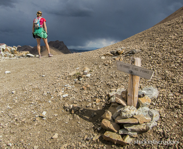
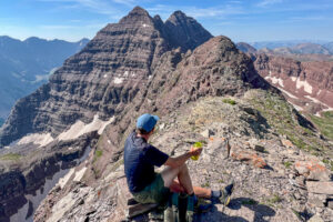
On Triangle Pass, the high point of the day. The broken part of the sign used to read “NO DOGS ALLOWED…”. Funny how upset dog owners get by a few restrictions here and there.
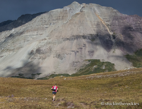
Christy descending Triangle Pass during a stormy afternoon. Castle Peak is illuminated behind.
We did get to sleep in before hopping on the tourist bus to Maroon Lake, where we picked up the remaining stuff in our cache from the day before. From there we went over Willow Pass to Willow Lake, and down East Snowmass Creek.
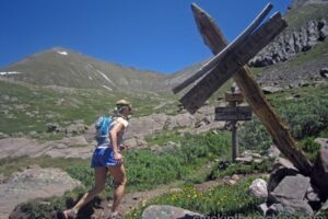
Heading up to Willow Pass the next day, this photo was taken right after we left the trail to Buckskin. Willow Pass offers sweet views of the nearby summits– North Maroon is out there to the left.
It was about 16 miles and 3,700 feet of gain.The route up to Willow Pass is just as long and hard as neighboring Buckskin Pass, but it’s much less traveled– once we left the main trail we encountered only one other person before getting to our car. Willow Lake is a stunning spot to visit in itself.
Atop Willow Pass with Willow Lake and Seivers Ridge behind.
And that was the valuable “tired training” that we wanted. It wasn’t a super-long second day, but it got our legs used to going when they might have otherwise preferred to rest.
Christy heads down East Snowmass Creek. Willoughby and Garrett Peak are the mountains in the distance.
So we found ourselves in six awesome valleys, we covered about 56 miles, climbed more than 12,000 vertical feet– it was a great couple of days. “Training” should always be this fun.
Good times.


5 Comments
Leave your reply.