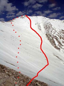
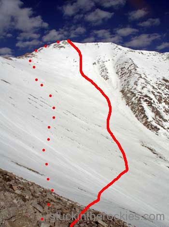
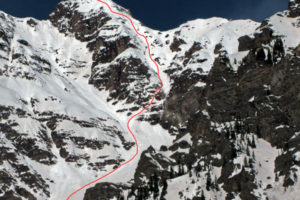
Route: East Face
Team: Christy, Ted
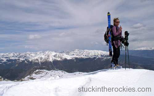
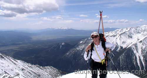
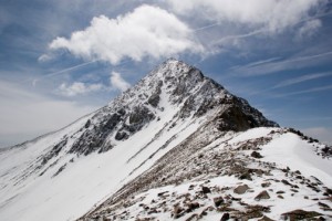
Moving south from Columbia, Mount Princeton was our next 14er to ski. I was unaware of how good the snow coverage was this spring in the Sawatch Range. Princeton, in particular, wouldn’t look this skiable for a few years. We figured it would be good because of the easy access on Mt. Princeton Road, the short approach, and the direct climb. Being our fifth 14er in four days, that sounded perfect to us.
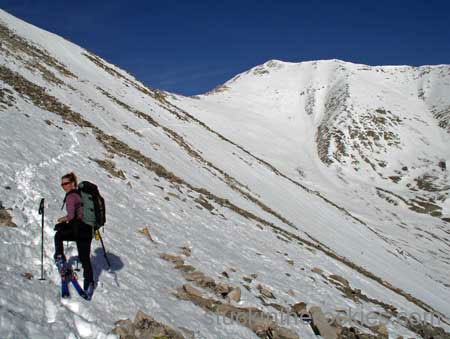
We drove up the road to the radio towers for the night. The two beers with dinner at Casa Del Sol following our long day had us both ready to pass out. Camping here near 11,000 feet meant we didn’t need the predawn start, but it didn’t matter because, by now, our clocks were just set to get going early.
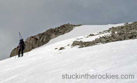
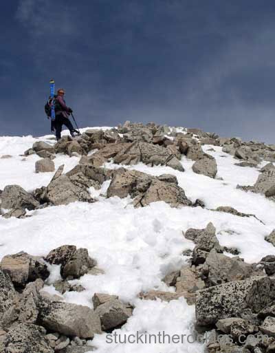
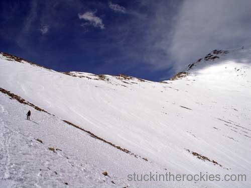
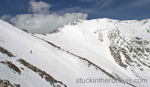
We skinned the road to its break with the summer trail and came around to see the snow-filled face in the morning sun. Skinning frozen snow on the side hill took a lot of effort, so we racked the skis on our packs, donned the crampons, and walked the summer route, first in the bowl and then up the ridge to the summit.
Two and a half years later, I would return with Chris Davenport and Nick Devore (on one of four attempts Chris made to ski the peak), only to find unskiable conditions. Ultimately, he got it, but through his ordeal, I realized how lucky Christy and I were to be able to check it off the list on our first attempt.
Due to its east-facing aspect, the snow was ready to ski early. We started fall line skiing down the gut at first, eventually hanging a hard right traverse so as not to miss the exit of the summer trail we ascended. It’s a quick ski. With a few ribs of talus to negotiate, we were quickly back on the road, gliding to the truck. We happily drove through Buena Vista by 10 am on our way back to Aspen. We had a pretty good four-day weekend, but we didn’t dwell on it for too long. When we reached Leadville, the discussion turned to where to go next. (We headed to the Sangres)


Leave a Reply