Finding solitude on a busy 14er
As I crested the ridge, I could see Mount Elbert’s summit in the distance and a mass of people milling about. Not surprising, I thought to myself. It was a sunny Saturday in June, a busy time on the Colorado 14ers.
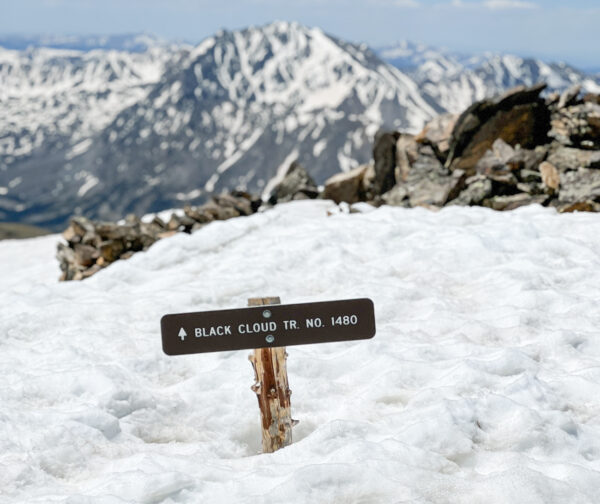
The crowd on the summit didn’t concern me. The route I followed — the Black Cloud Trail — is renowned for its solitude. And this day was no exception. A few hours into my hike, I had only encountered a couple of other people. If the summit was busy with hikers taking the other mountain routes, that was OK. I spent most of my day on a trail I had all to myself.
At 14,433 feet of elevation, Mount Elbert isn’t just a tall mountain, it’s the tallest in the state. There’s only one mountain higher in all the lower 48 states— Mount Whitney in California.
The mountain is named after Samuel Elbert, who, in 1873, was named the sixth governor of the territory of Colorado. In 1876, when Colorado was granted statehood, Elbert was elected to the Colorado Supreme Court, eventually becoming chief justice.
The local miners named Mount Elbert to honor the governor who had brokered a treaty with the Ute to open 3 million acres of their land to mining and railroads. Considered controversial by some, the name Mount Elbert is a reminder of a time when Indians were being pushed off their land for the gain of the U.S. government.
Despite Elbert’s role in that chapter of Colorado history, the mountain is extremely popular. State high points will always garner an outsized share of attention. In addition, Mount Elbert is rated as a Class 1 hike— defined as easy hiking on a good trail— which further contributes to its broad appeal.
It’s not limited to the masses of 14er hikers, either. On any given summer day, you might encounter mountain bikers pushing their bikes up the South Elbert Trail for a ride down. The friendly trail allows disabled climbers, including veteran groups and even those in wheelchairs, to reach the top. Seventy years ago, a jeep was driven to the summit to survey the zone for a potential ski area.
And back in 2001, the last time the Colorado Avalanche won the Stanley Cup, they hauled the massive trophy to the top in a custom backpack made by the Boulder-based company Mountainsmith.
According to trail counters installed by the Colorado Fourteeners Initiative, it’s estimated that Mount Elbert sees 20,000 to 25,000 hiker use days during the summer. That averages to a couple of hundred people every day. If you’re there on the weekend, the numbers could easily be double.
But most of those folks aren’t on the Black Cloud Trail.
Mount Elbert has several routes to its summit. Some are much more popular than others. Because the majority of 14er hikers in the state reside in the Front Range, the mountains closer to those population centers see more significant visitors. The trailheads that offer the most straightforward access also tend to see the largest crowds.
In Mount Elbert’s case, the east and northeast sides of the mountain get the most traffic. The Mount Elbert Trail from Halfmoon Creek outside Leadville is the most popular. Not far behind that is the South Elbert Trail that starts near Twin Lakes.
The Black Cloud Trail accesses the mountain from the south. It departs from an obscure pullout on Highway 82, a short distance down the road from the rustic Mount Elbert Lodge. It’s a slightly longer drive for the Front Range crowd, and the route is also more challenging in terms of length and vertical gain. Its 11-mile round-trip distance and 5,300 vertical feet of elevation gain is longer and involves more climbing than the other routes.
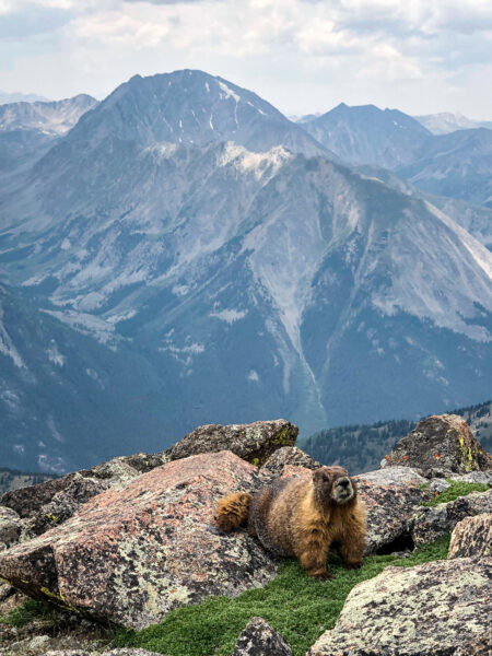
However, if you’re coming from Aspen, it’s one of the first trailheads you reach. And while it is understood to be a more challenging route, the added effort is offset by the guaranteed solitude. In my experience, I typically see more marmots than hikers.
The route begins with a series of switchbacks that ascend along Black Cloud Creek, climbing 3,700 vertical feet for 3 miles. It’s a pretty direct trail and an efficient way to gain elevation. It offers only a few breaks along the way, eventually topping out at 13,500 feet on Elbert’s Southeast Ridge.
From this location, you’re rewarded with your first view of Mount Elbert’s summit, 2 miles away.
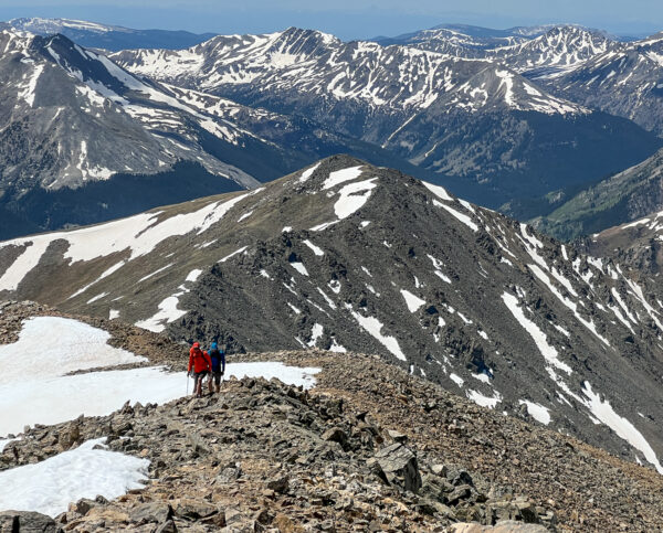
The remainder of the route follows the ridge and is where I give the Black Cloud route high marks. I always prefer ridge routes to valley trails because they offer better views. In this case, La Plata Peak and the Sawatch range fill the view to the south, the summits around Independence Pass are to the west, and Mount Massive and the Holy Cross Wilderness lie to the north.
The ridge also takes you up and over a sub-summit of Mount Elbert known as South Elbert. According to the Colorado Mountain Club, this 14,134-foot summit isn’t an official peak, but it’s a worthy high point above the coveted 14k mark.A good weather forecast is crucial if you aim to hike Mount Elbert via this route. On a nice sunny day, it’s great. But as we get into summer, where afternoon thunderstorms are more common, the Black Cloud Trail probably isn’t the best option.
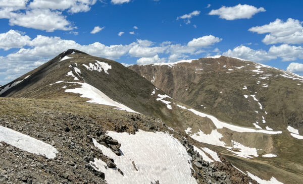
I don’t know the detailed history of the name Black Cloud, but I’ve always assumed it’s derived from a history of bad storms back in the mining days. Whether true or not, the extended time on the southeast ridge leaves hikers incredibly exposed should unexpected weather arrive.
Between the length of the ridge and its average elevation of 14,000 feet, travel is slow, and it isn’t practical to assume you’ll be able to hustle off the route quickly if there’s lightning in the area.
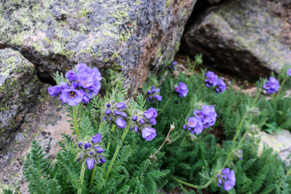
With all that in mind, I headed up Black Cloud last weekend. The forecast was ideal, with a 0% chance of weather. I only encountered two other small groups. The marmots were out as usual, and the wildflowers were starting to appear. Sky Pilots, Primrose, Alpine Forget-Me-Not, and Purple Fringe were coming up.
There was still some snow, but it was all avoidable. There was no need for micro-spikes or other traction devices. I did find a trekking pole helpful in spots.
Despite this trip being nearly the 30th time I had been up to the summit, I was glad I went. I don’t think it ever gets old. Also, it’s a treat to have the state high point close to town and easily accessible.
I was also glad I knew about the Black Cloud Trail. The summit was busy, but I knew that I would soon have the mountain all to myself again as I began down to the trailhead.



Leave a Reply