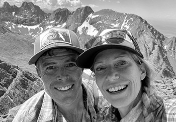
Macey Lakes
Exploring the valleys and summits of the Sangre de Cristos, this time up to Macey Lakes and Colony Baldy.

Exploring the valleys and summits of the Sangre de Cristos, this time up to Macey Lakes and Colony Baldy.

Taking it all in under Neville’s Arch, deep in Owl Canyon. You can barely make out Christy (in red) beneath. We recently made a trip to Fish and Owl Canyons down in Cedar Mesa. It’s a region of Southeastern Utah that’s home to canyons, mountains, forested mesas, impressive sandstone formations and considerable Native American history. (more…)

At the far southern end of the Needles District of Canyonlands National Park is a valley called Salt Creek. The Salt Creek region is full of ancient ruins and petroglyphs unlike other areas of this National Park.

A trip to the Weminuche Wilderness to climb the 13ers Mount Oso and Mount Nebo via Hunchback Pass, Vallecito Creek, Nebo Creek and Rock Lake.

It’s become a bit of a tradition for us to escape the July 4th crowds in town and go explore the Sangres.

When a small storm moved into the Sierras mid-week, bringing wintry conditions to the mountains, we took the opportunity to head back to Death Valley National Park knowing that it would be unseasonably cool.

We’ve always insisted that some of the easiest peaks can present the biggest challenges. We had twice failed to reach the grassy summit of Electric Peak, 13,598 ft. in the Northern Sangre de Cristo Mountains.

Photos from a backpacking weekend up to Pierre Lakes.

Lower Buckskin Gulch The following morning, with lighter packs, we continued down Buckskin Gulch to the Paria River. It was about six miles downstream to the confluence. After a quick dunk in the river and a little playing around with quicksand, we were on our way back up the canyon. We stopped at the midway exit to grab our overnight stuff and then retraced our path to Wire Pass. (more…)

Deep in Buckskin Gulch. Buckskin Gulch has the proud distinction of being the longest slot canyon in the world. All slot canyons by definition have sections of tight narrows, but the depth and length of these narrows can vary. Some are actually quite short, often measured in yards. Others can go for longer, even as long as a mile, before it opens up and higher ground can be reaches. The...
 We met in Aspen in 2000 and have been happily stuck in the rockies ever since, getting out in the mountains every day we can, in every season and by all means possible. Read More
© 2024 · Stuck in the Rockies