Route: South Slopes form Halfmoon Creek
Team: Ted (solo)
For a while, I just couldn’t seem to catch Mount Massive right. Apart from deteriorating weather and high winds as the day progressed, an earlier solo attempt a week prior proved completely demoralizing.
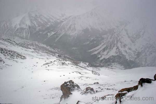
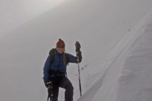
On that day, I aimed for the east side of the mountain. After several miles of solo trail breaking, the weather began to deteriorate. Typical for May, the spring storms reduced the visibility to nil at times but always moved on through, so I moved on up. Arriving on top, I heard the distinct electric buzz coming from my poles, signaling there was electricity in the air, and when that happens, the summit isn’t a recommended place to hang out.
After quickly pulling my skins, I took the requisite solo summit shot and headed down. Several hours later, I made it back to Leadville, where I stopped for a coffee before driving back to Aspen. As I looked towards the mountain, I was in disbelief as the recognizable features of the mountain from earlier in the day weren’t where I expected them to be. I realized I hadn’t actually reached the summit. I had successfully skied from the (lower and unofficial) summit of South Massive!
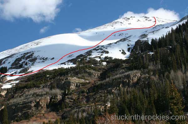
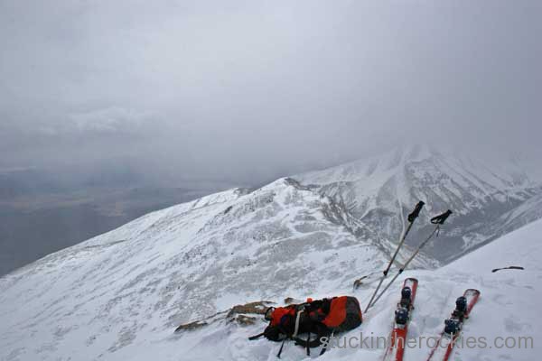
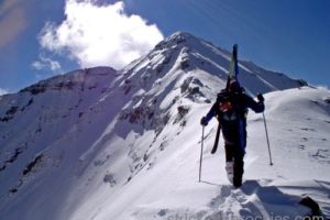
Take two— I returned to Mount Massive, solo again on what initially looked to be a perfect morning (see route pic). This time I tried for the shorter and more direct south slopes of the mountain, parking at the Halfmoon Creek snow closure and walking the snow patched road a mile or so to the North Halfmoon Creek trailhead, at 10,530 ft. Easy walking on frozen snow became skinning as I got near the treeline, and that’s when the winds arrived.
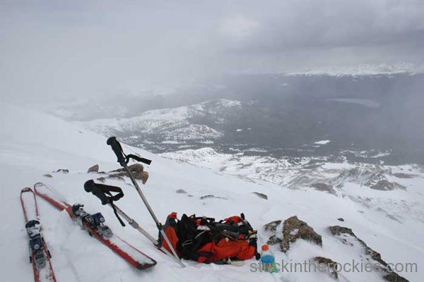
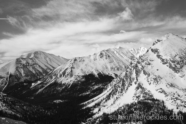
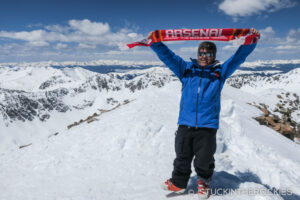
As I neared the summit ridge, it became too steep for skins, so I racked the skis on my pack and began booting up, managing only a few steps at a time before getting blown over. The sail effect of the skis on my back was almost more than I could control. With no real storm but a lot of wind, I decided to keep going, eventually making it up to the ridge where it calmed down on the leeward (east) side. After traversing several lower sub-summits to the central high point, I could look south to the much lower south summit I mistakenly climbed the week before. Bummer.
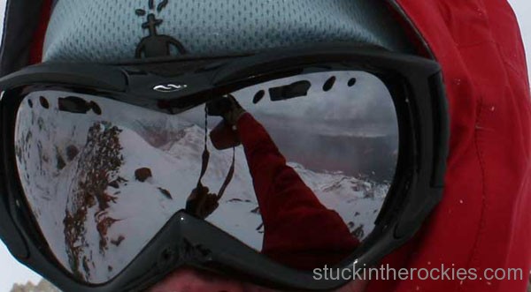
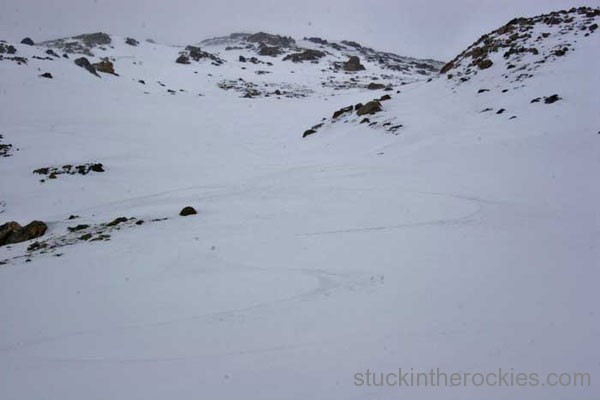
After a few lame self-portraits and a snack, I was clicked into the skis and connecting the snow down the ridge. I first traversed on the east side to reach the saddle, where my ascent route was accessible. Before long, I was down and out of the weather and trying to connect the longest line of snow to the valley floor. As I walked the last stretch on the Halfmoon road, I was glad to have this one done, although I would still like to get it on a good day. Maybe next year.
Next up this spring season- the North Face of Longs Peak.


Leave a Reply